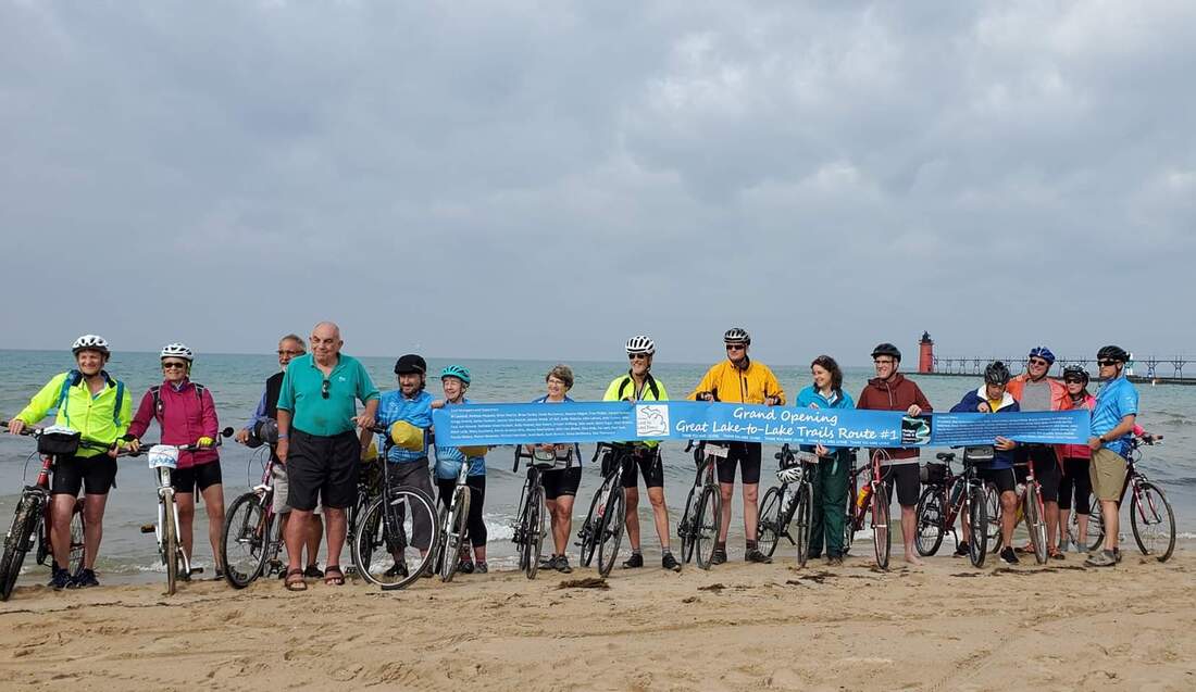
 Just prior to the kickoff ceremonies the downpour stopped. We had sun and mild temperatures the next six days. The rear wheels we wetted with Lake Michigan and we off with a police escort to the Kalhaven trailhead. 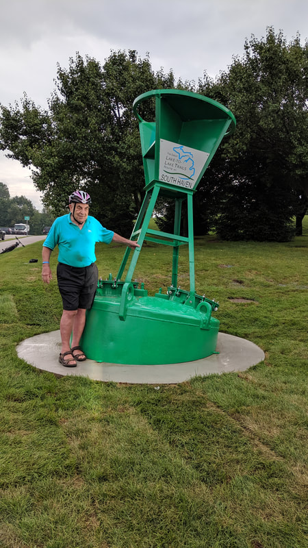 Mike Levine is standing next to the buoy marking the starting point near the Kalhaven Trail. Mike has been a driving force to extend trails and create connectors along Route 1. The Michigan Department of Natural Resources, Michigan Trails and Greenways have been working with the municipalities along the way to make this happen. There has been hours of hard work behind the scenes. 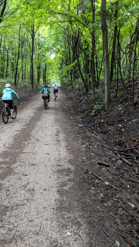 The rain stopped by the crushed limestone, dirt, and sand base was wet and puddles caused cautious riding. 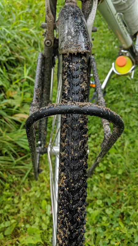 I appreciated switching to the tires used for cyclocross. The fenders helped keep the bike and rider clean, but they were constantly popping with rocks, sand and dirt. At some times I could feel the resistance with too much collecting in the small gap. I was happy to have a bike wash at Theo and Stacey's restaurant next to our hotel. 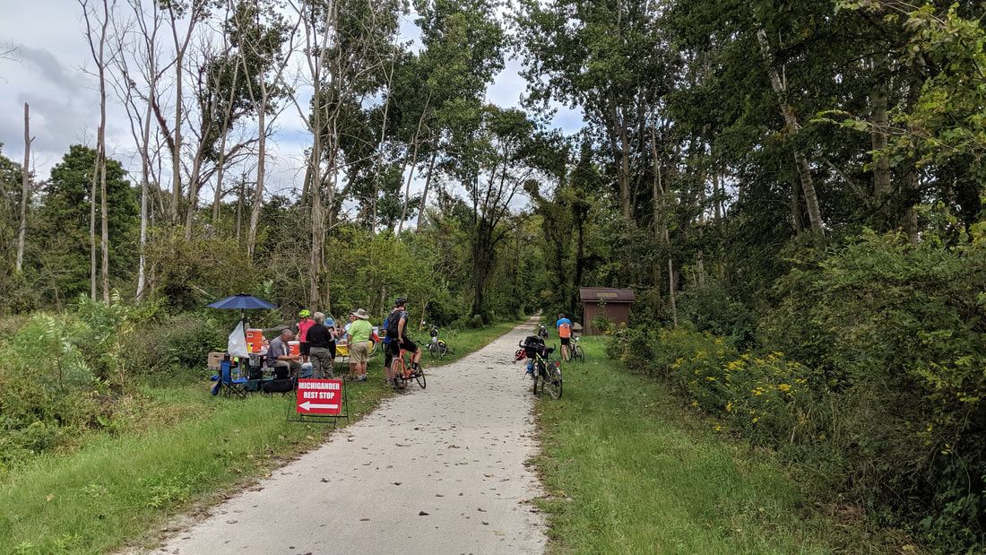 Along the trail we experienced wonderful SAG stops hosted by "Friends of the Trail". The Kalhaven had pit toilets and water pumps along the way in between the villages. I have never seen a trail with water pumps along the way. 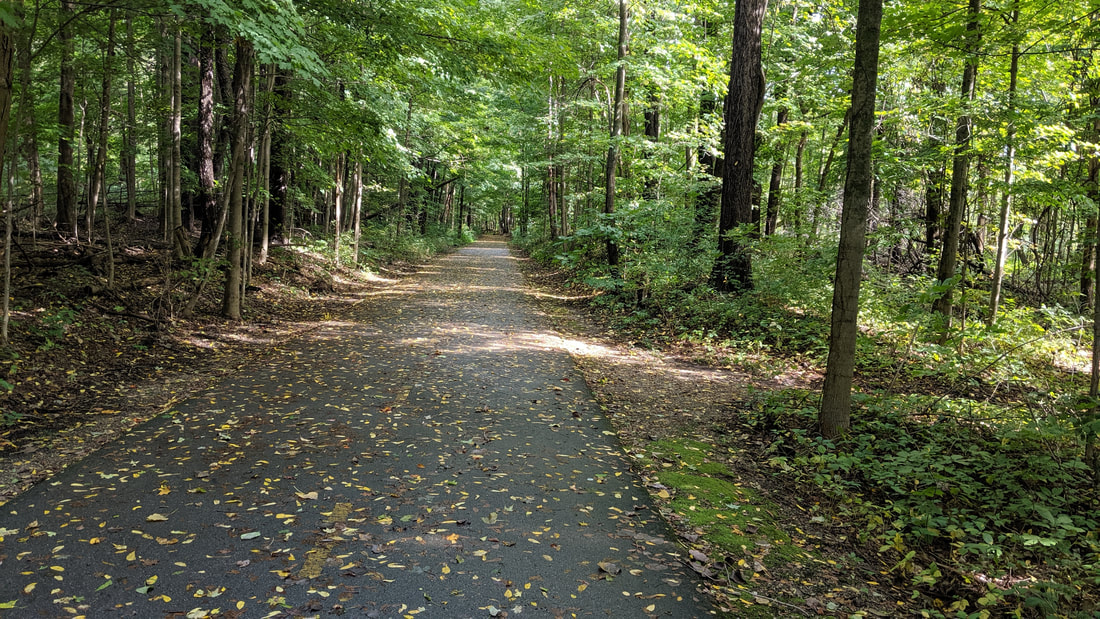 From the end of Kalhaven we moved directly to the Kalamazoo trail into town. The asphalt was appreciated. 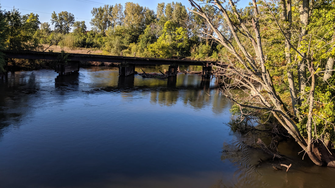 On the second day we followed the Kalamazoo River through Battle Creek and into Marshall. 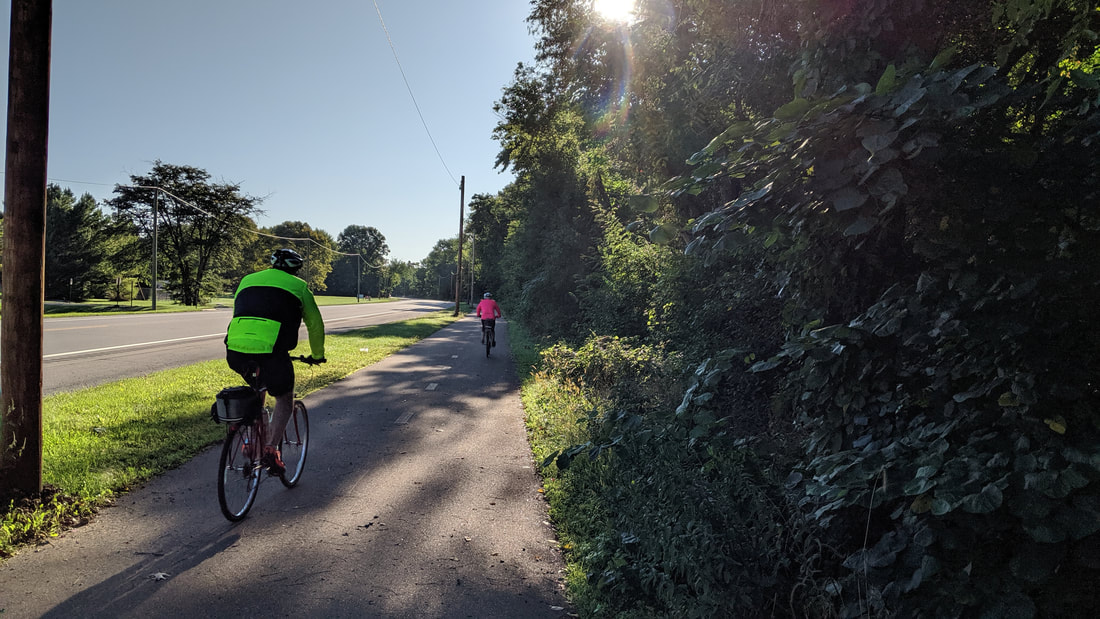 At time the trail moved through fields and along the highway. This route was easy to follow. 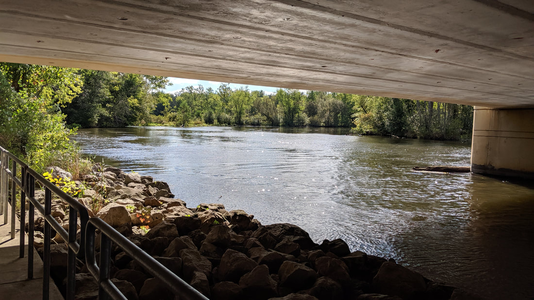 Going along the river is my favorite time. 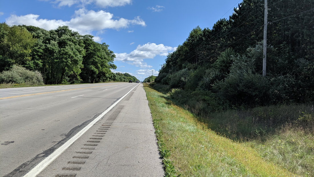 Sometimes we just needed to go along the highway to get to the next trail. Road routes were lower traffic volume or ample shoulder for the busier highways. 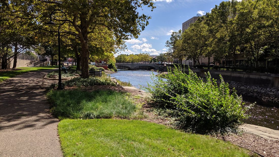 Battle Creek and Kalamazoo integrated the trail through the city riverside park. 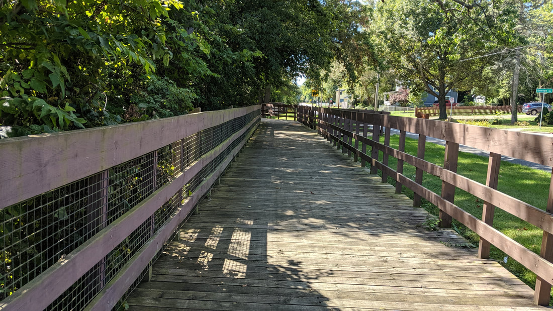 Board path stretches were over wetlands and in this case above the steep slope and to create a safety zone with the road. 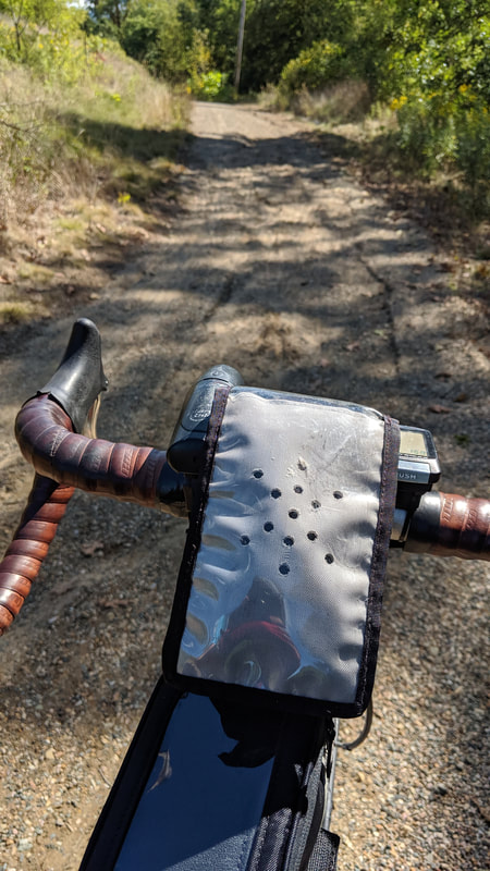 From Battle Creek we moved into the Calhoun County Nature Preserve. Recent rain created washouts and the volunteers had not completed the trail maintenance. We saw many hikers and this section is part of the North Country Hiking Trail. 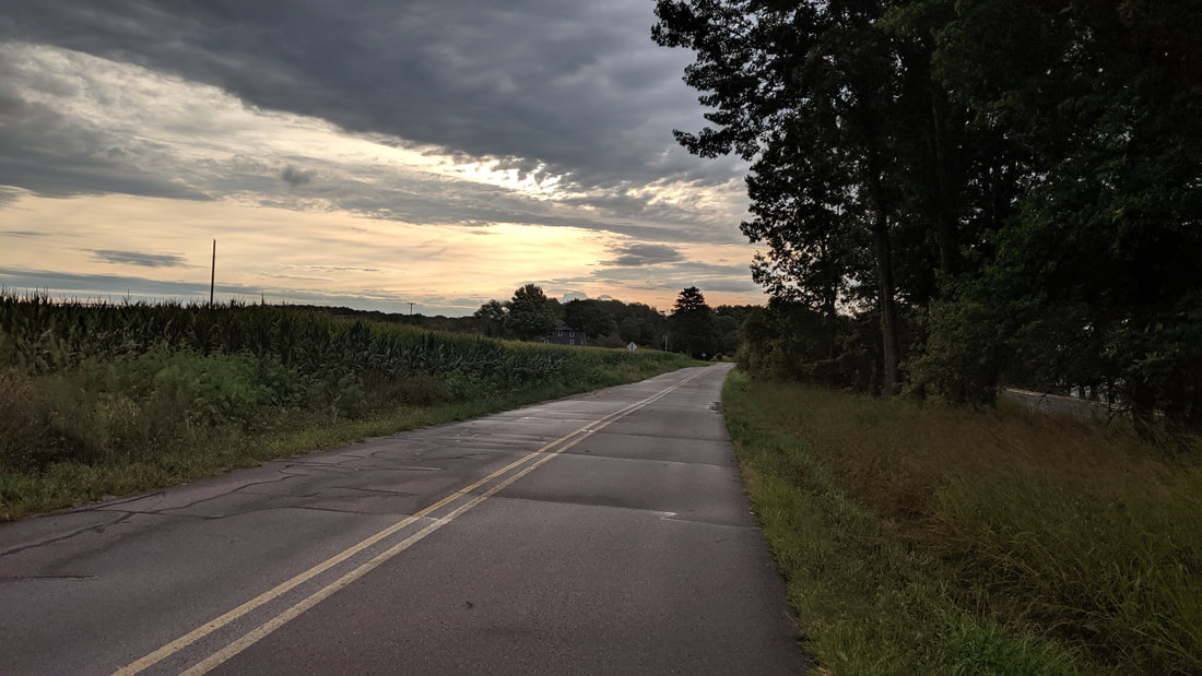 From Marshall we took back roads toward Jackson. 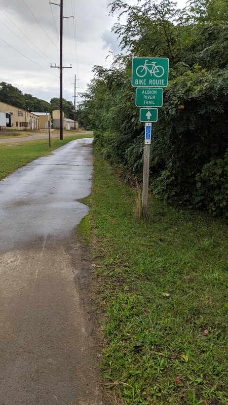 We had a path through Albion and then back on to back roads. 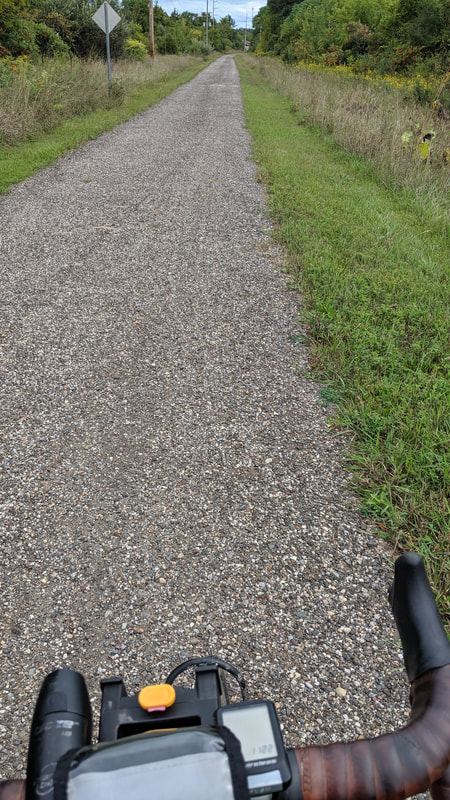 At Concord we connect with the rail trail. This was a very nice path to the trail leading into Jackson. 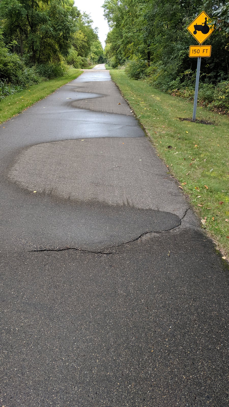 I favor the asphalt trail. 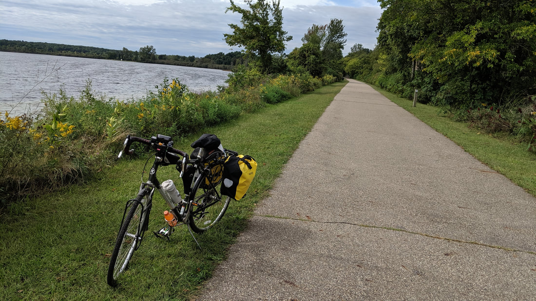 Besides going through the farmland we also had lakes and wetlands to enjoy. 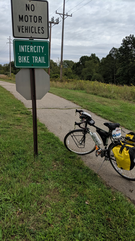 The Intercity Trail also named MLK Trail took us from the outskirts of Jackson to downtown. 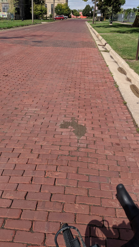 I was surprised to see the brick, but it was a in a historic district. Through Jackson had bike lanes on our route and less traveled roads. 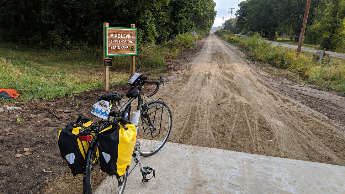 Heading out of Jackson we had about 6 miles of back roads to reach this point. Behind me the trail will continue to Jackson and eliminate the need for the roads we traveled. This section needed some more rolling but soon we hit the fully completed section. The trail will just keep getting better. 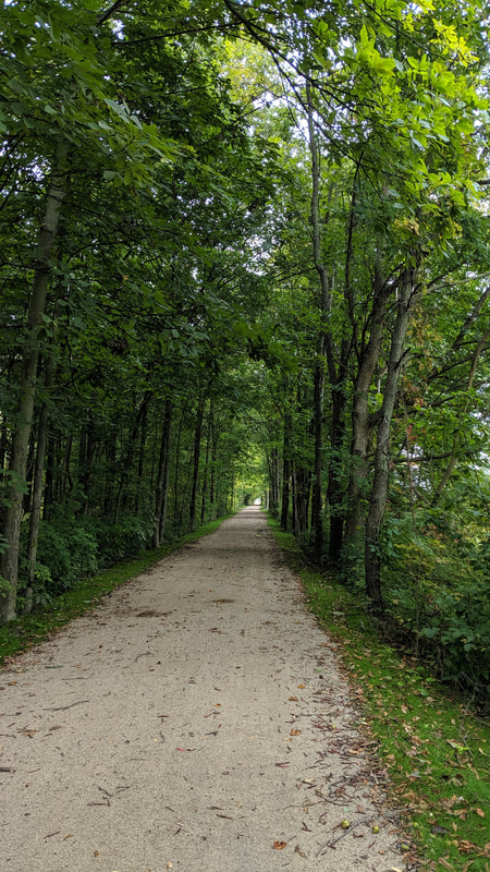 This train line was abandoned in the 1980's and the natural woodlands have returned and provide shade and windbreak. 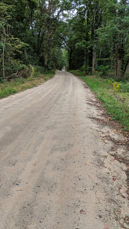 We decided to take a side trip to Hell, Michigan. This dirt road was bouncy enough I lost my water bottle. 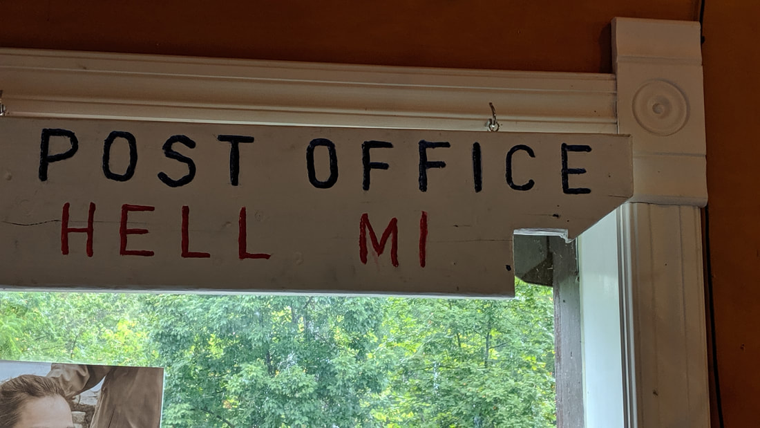 I am not sure that is an official sign. They did have a hand stamp that stated "Mailed from Hell." The stamp guarantees delivery. 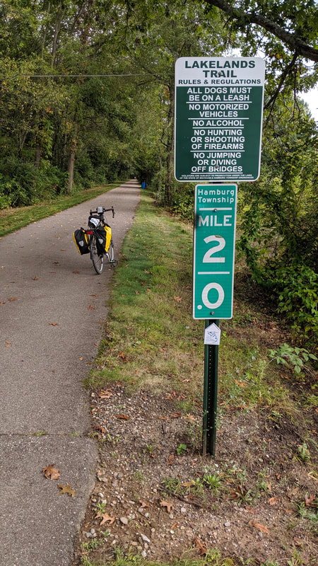 Ah, an asphalt trail heading toward Brighton. 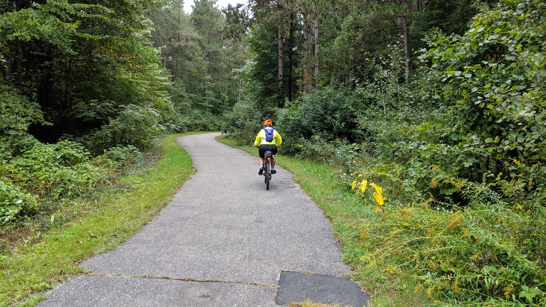 Path through Island Lake State Recreation Area. 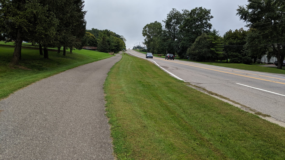 The Huron Valley Trail along Grand River Road near South Lyon. 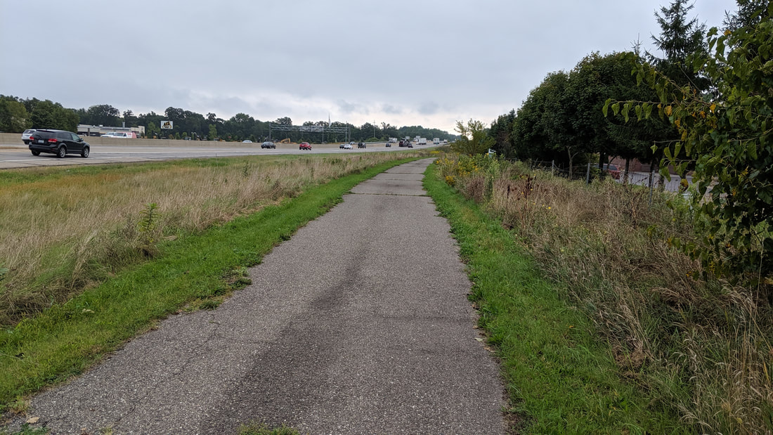 This section of the Huron Valley Trail parallels Interstate 96 for a short distance. 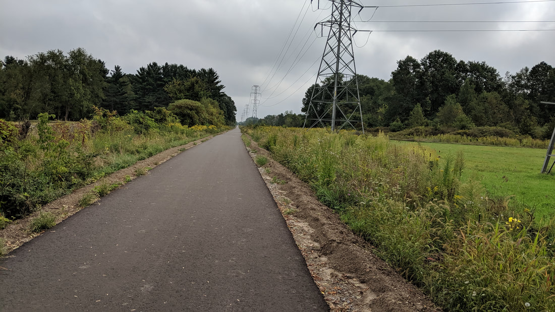 This trail is named after the rail line that rain along here called "Airline". This is new asphalt and they were still working on sections as we rode by. 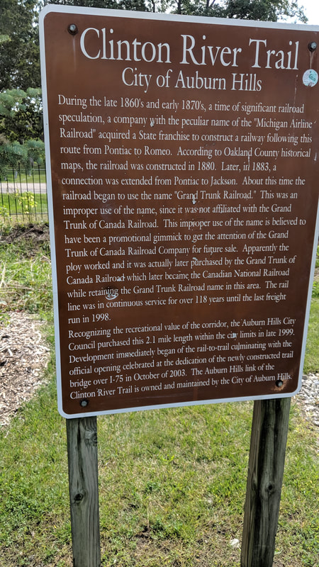 Here is a little history of the Michigan Air Line Railroad. This track from the 1880's is the basis for the route for these trails. 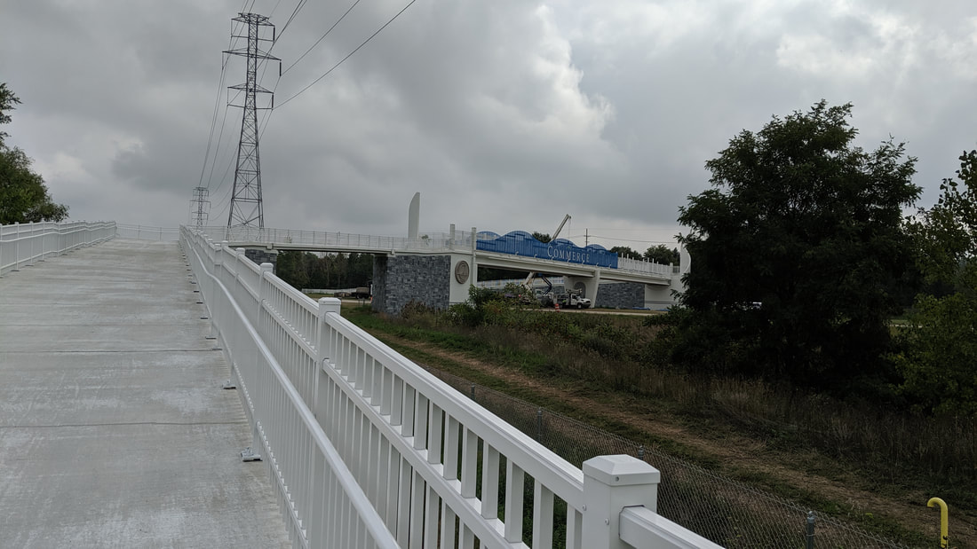 What a nice bridge for the trail over the multi-lane Michigan State Highway 5. These bridges or tunnels under roads are expensive, but I appreciate the safety. 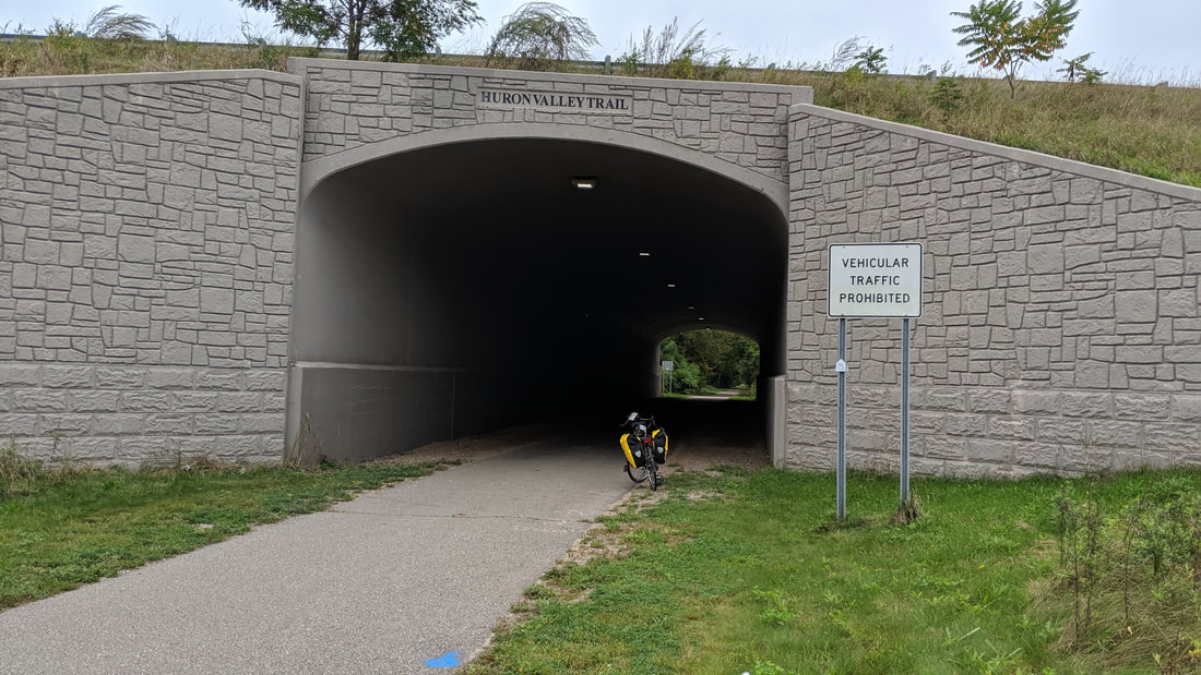 This tunnel went under the Interstate 96. 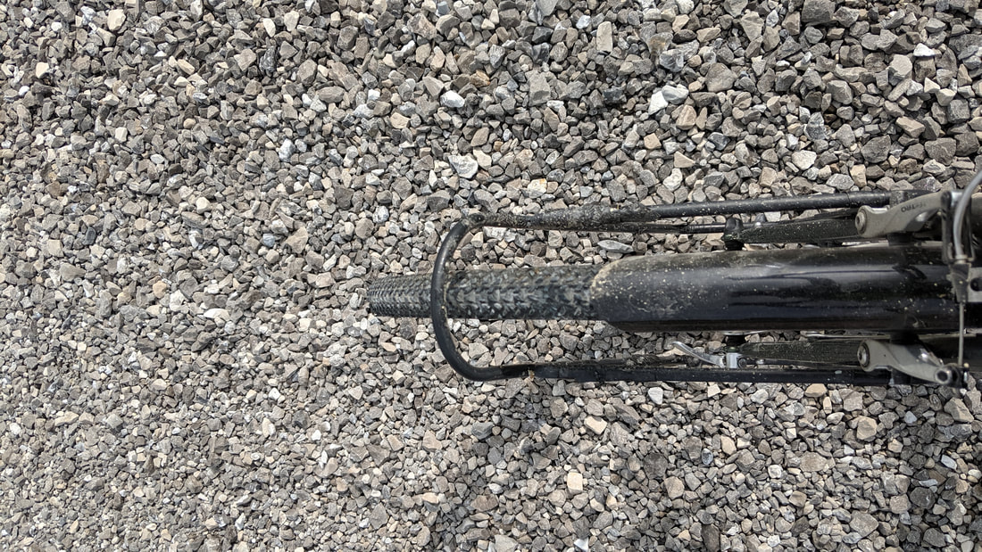 Just off the bridge we ran into gravel. This was still very loose and had not been rolled. After a bit I decided to walk because I was weaving all over. 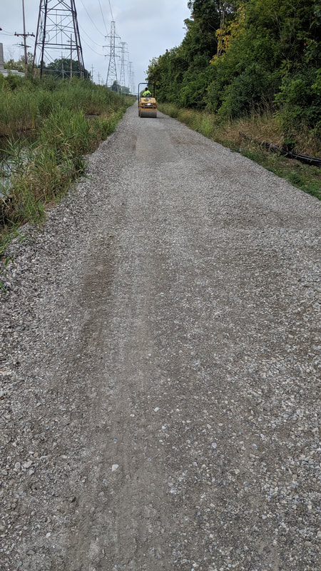 What a relief to see the steamroller right ahead. The roller made the gravel embedded and I could ride again. 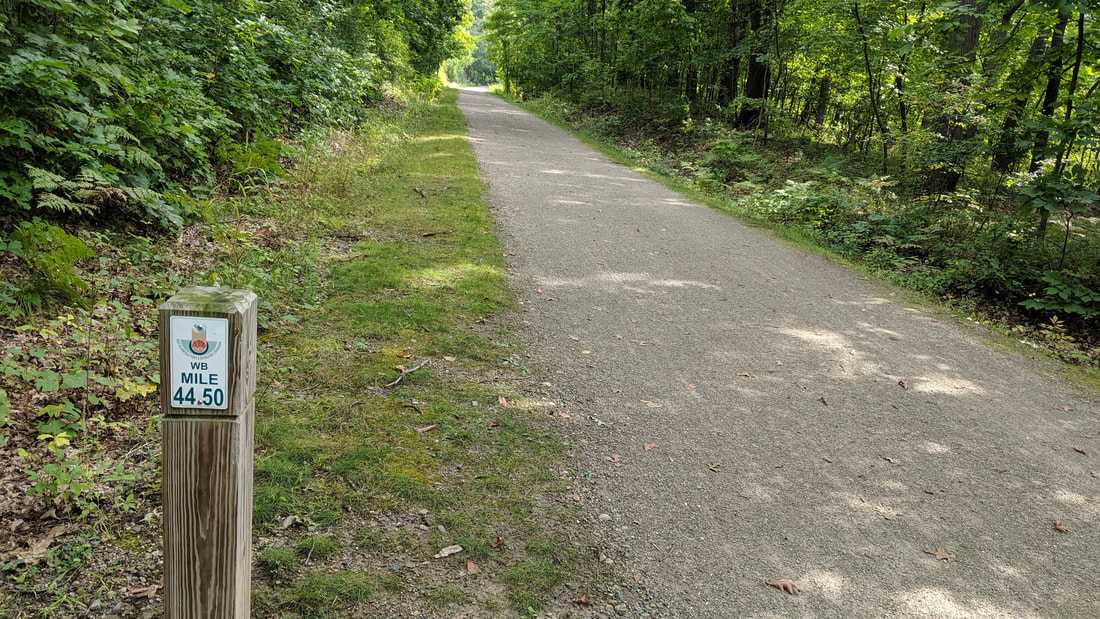 The West Bloomfield Trail. I calculate the mile marker on the post indicates the distance to Richmond, the eastern terminus of the Airline. 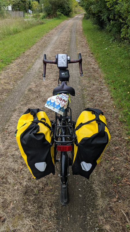 This is the Clinton River Trail in Pontiac. This two track looks rough, but it was smooth. 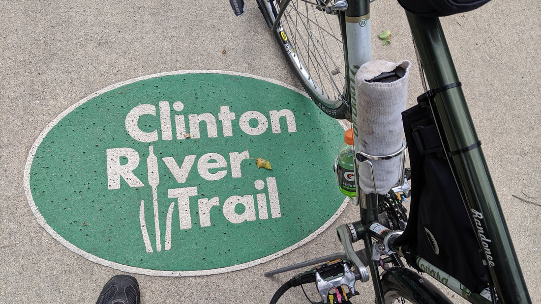 The trail moved us to the sidewalk, I guess to keep us off the road. It was bumpy, but it worked. These markers helped to keep on track until we picked up the trail again in Auburn Hills. 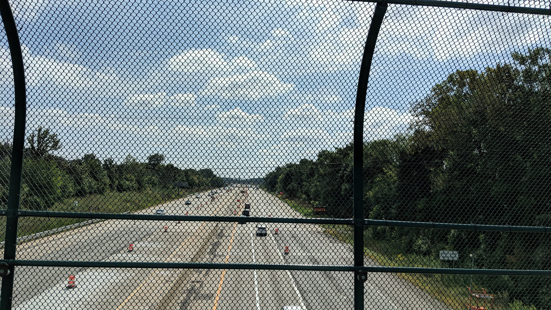 The bridge over Interstate 75. 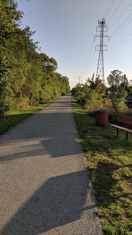 The Macomb Orchard Trail is 23 miles of pavement heading to Richmond. 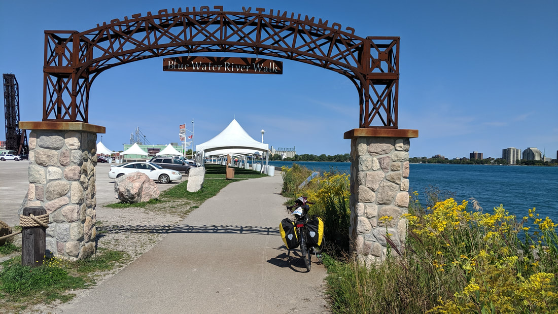 The Bridge to Bay trail follows the St. Clair River running out of Lake Huron. We are in Port Huron now. 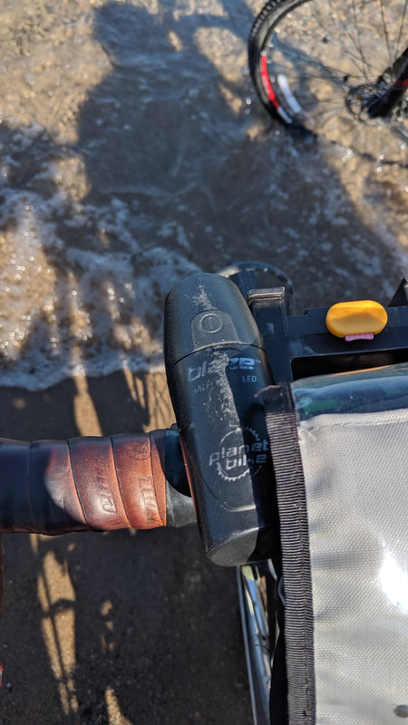 Now the tire dip into the Lake Huron. What a good trip over 18 different trails and 275 miles altogether.
0 Comments
|
AuthorI love my riding days and look to find interesting and informative items to share. 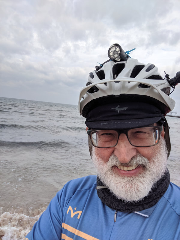
Archives
October 2023
Categories
All
Pacific Coast Highway
MUP |
 RSS Feed