Now Starting Texas on the Southern Tier: Virtual El Paso to Van Horn - Total over 1000 miles.10/22/2022 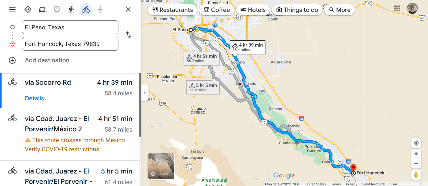 This route stays in the U.S. 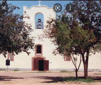 Socorro Mission is on the historical register. 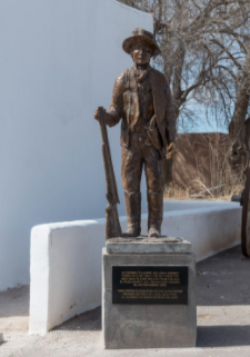 Statue of Billy the Kid in San Elizario. The story goes that Billy broke into the jail to get a friend. https://visitelpaso.com/places/billy-the-kid-jail 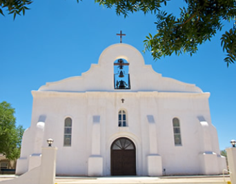 The Chapel for the Presidio at San Elizario. San Elizario is a town of of 10,093 and an elevation of 3642'. It is part of the El Paso metropolitan area. 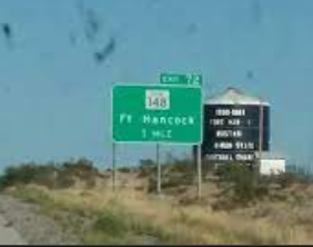 Fort Hancock 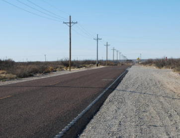 On the road outside Fort Hancock. 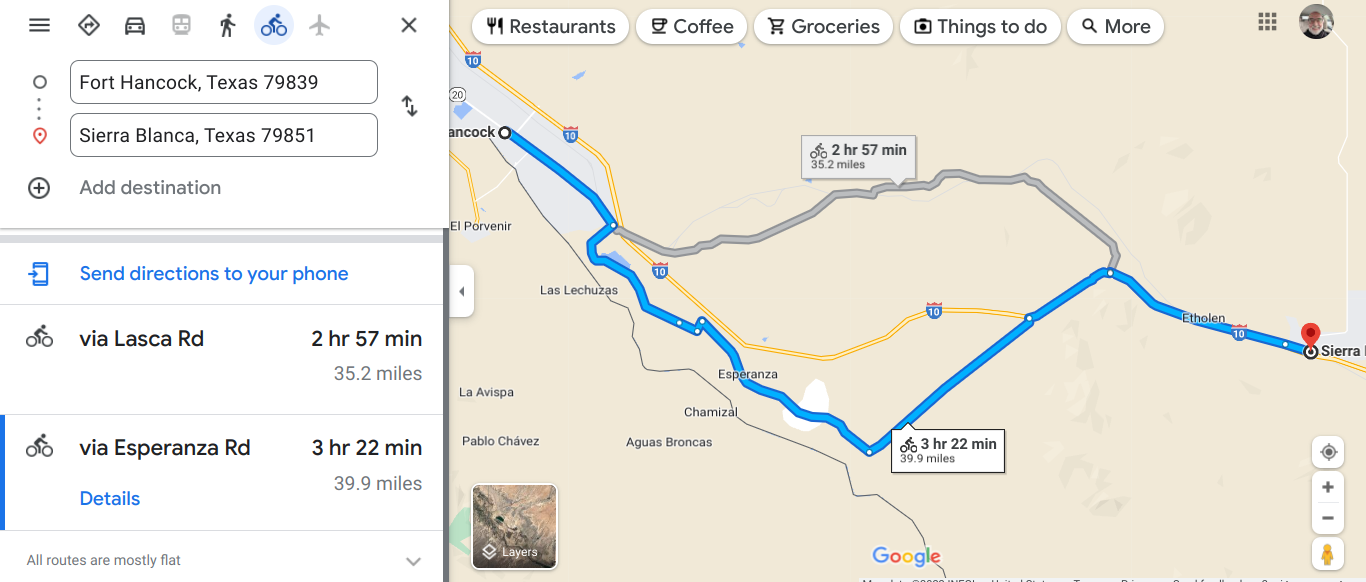 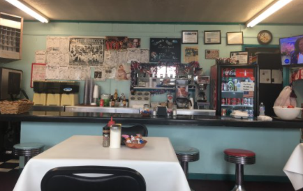 Always look for the number of cars outside the restaurant and you will be happy. 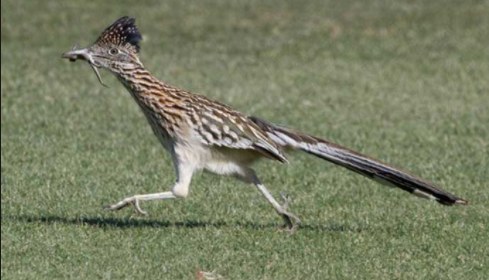 A roadrunner A roadrunner can run up to 26 mph. When they go across the road in front of you , you cannot get your camera out fast enough. They can fly, but they will usually run. Beep, Beep! I loved those cartoons. I will keep my eyes peeled for a sighting. 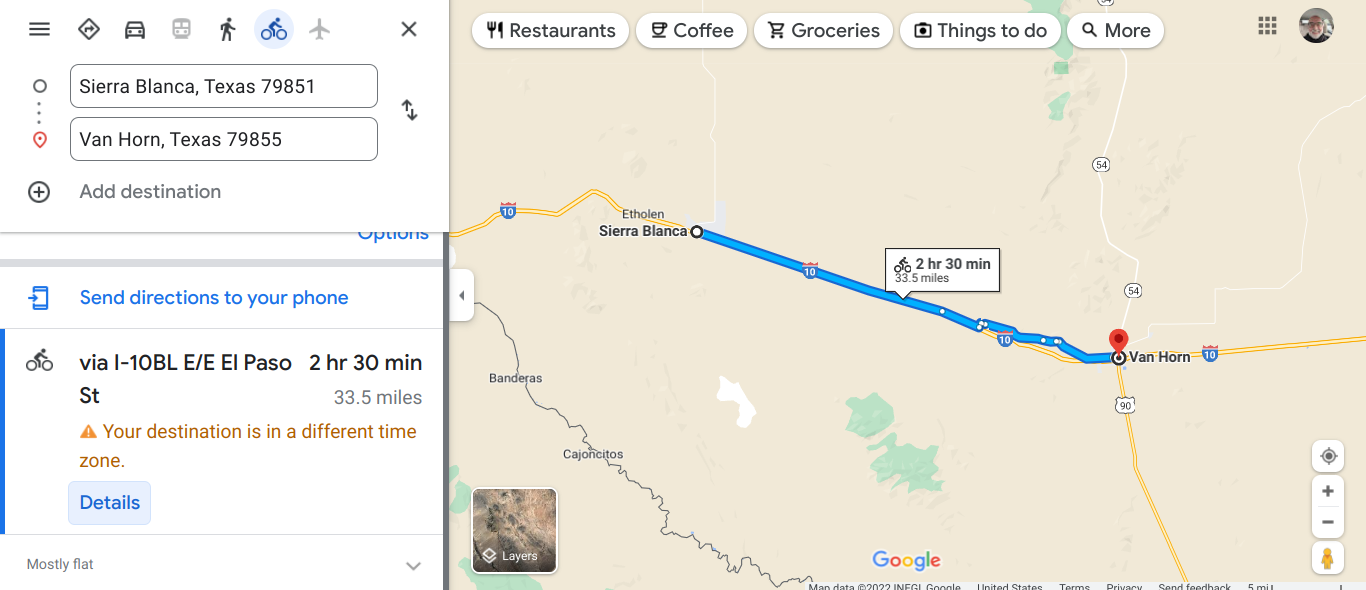 Gradually gaining elevation. From 3642' to 4528' in a couple days. 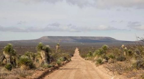 I did find some dirt to ride, but to get where we want to go we go on the shoulder of the Interstate. 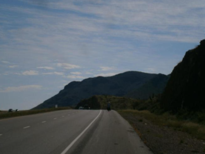 We later found a road that paralleled the Interstate. That side road had very little traffic. At Van Horn the elevation is 4042' and that meant a little downhill into town. Van Horn is the furthest western town in the US to use the Central Time Zone. I am only 1 time zone from my home time, but I have a long way to go to my destination. I have now traveled just over 1000 miles.
0 Comments
 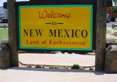 In New Mexico I am on Mountain Time. The third state on the trip. 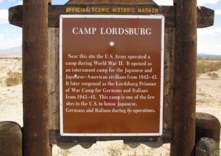 I did not realize this. Glad that there is a marker to remember what our country did. The temperatures were in the 80s which is much better than the many days near 100. The first ten miles on today's ride was gradual gain and then we had shorter rollers. Later in the ride we had a stiff headwind. 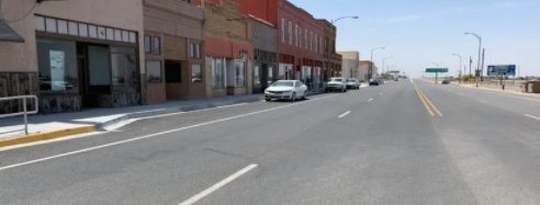 Lordsburg is a town of around 3000. We are about 700 miles from LA and this has long been a popular overnight stop for travelers. Currently there are 13 motels with over 300 rooms available. In the mid 20th century this was one of the few places in the area that accepted black guest. El Paso was another spot for black travelers to find a room. 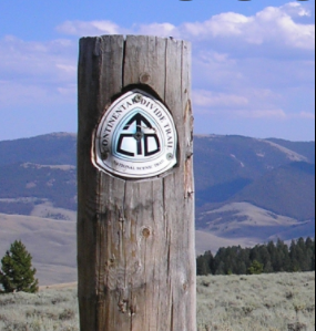 The Continental Divide Trail starts SE of here at the Mexican border. 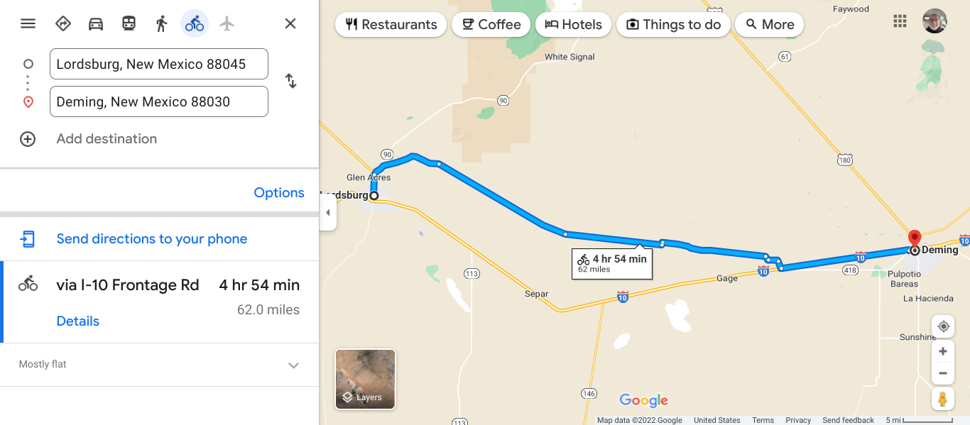 On this section you can ride on the shoulder of the Interstate Highway. Does that sound like fun? 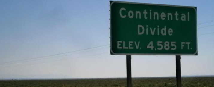 We crossed the Continental Divide. I do not think that we will see this again until we are much further east. 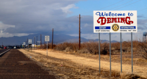 A city of almost 15,000. in 1881 this was the meeting place of the second transcontinental railroad. There are two wineries in the area. Agriculture and transportation are the mainstays of the economy now. Two state parks are close and sound interesting. City of Rocks has many rock formations and at Rockhound park you may see many different minerals. 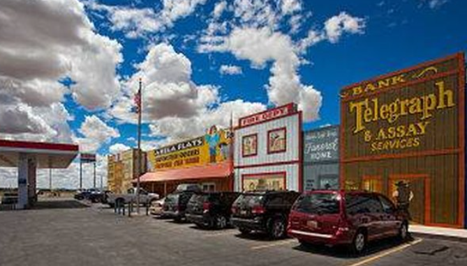 The attraction of Akela. The first places started in 1946; combined and went with a cute theme of the old west town. 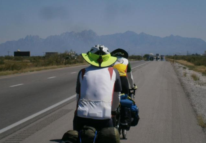 Again some time on the Interstate. Debris on the shoulder can cause flats. (wire from steel belted truck tires) 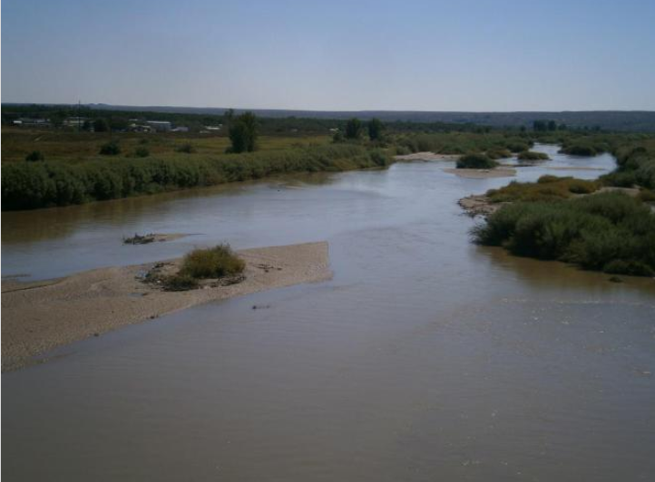 The Rio Grande  The routes are mostly flat. 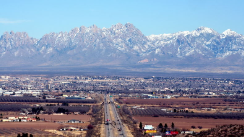 Las Cruses with the mountains in the background. Las Cruses has 111,000 people and is the largest city in southern NM. It is the home of NM State University. The White Sands Test Facility and Missile Range are close by. 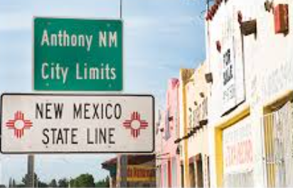 Going down to El Paso we are near the Rio Grande that serves as the state border.  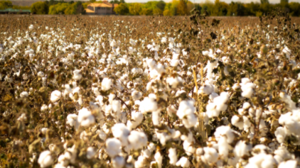 We passed by cotton fields. 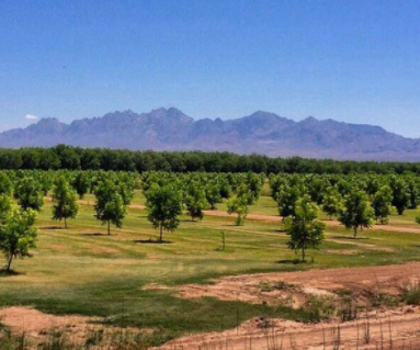 We also passed pecan orchards. I am now through NM and that is the 3rd state of this virtual tour. I have covered 880 miles. I now enter Texas and below you see the position at the red dot. I have a long way until Louisiana. 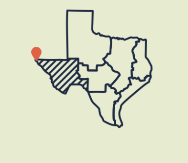  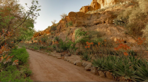 Boyce Thompson Arboretum William Boyce Thompson was a mining engineer in this area. He created this beautiful spot in 1924. What a wonderful thing to do. This is the oldest and largest botanical garden in AZ. This area is called the Sonorian Desert. The gardens attract some unusual animals. Be aware. 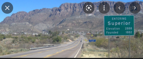 Coming into Superior. 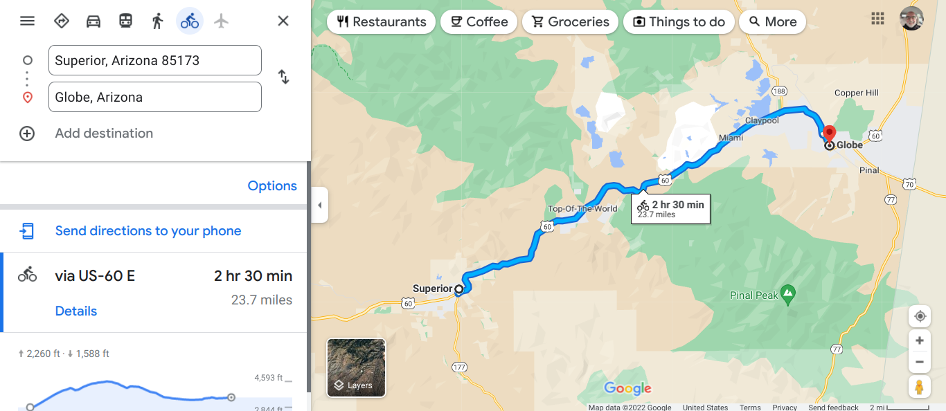 A couple of things I noticed and they are connected. Cell service when you are on the road away from cities may be spotty. Plan your motel destination before you leave the town. You can always get the room when you arrive, if the season is not too busy. 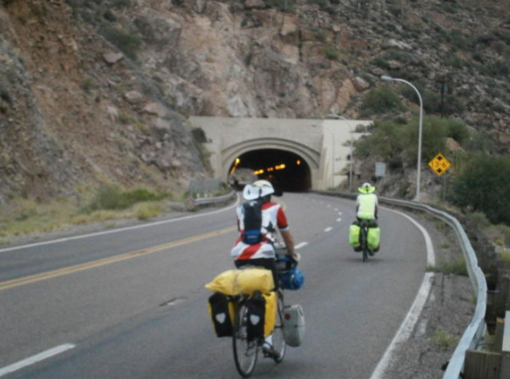 Queen Creek Tunnel. This tunnel opened up in 1952 and has three lanes. It is 1217' long and the grade is 6%. At that pitch I am walking. Be sure to travel with bike lights. We continued up to Top of the World. 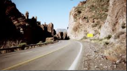 We are at 4528". 26 miles on this day is enough for me. Globe, like many towns took off as precious metals were found. In 1875 silver was discovered and then copper. Globe still has one of the few copper smelters. Old Dominion mining operation below. 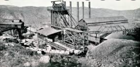 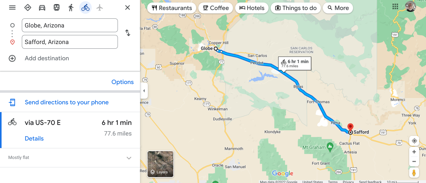 This section is mainly flat. 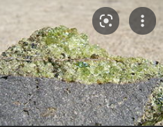 Mineral peridot. Part of the fun of bike touring is learning new things. We go through the town of Peridot and learn that it is named after a mineral found in basalt. I remember that basalt is from volcanic activity. 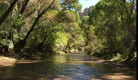 Aravaipa Canyon Wilderness Area. This area in managed by the Federal Government, BLM. A permit is required and only 50 people a day are given access. This is why planning ahead is a good practice. 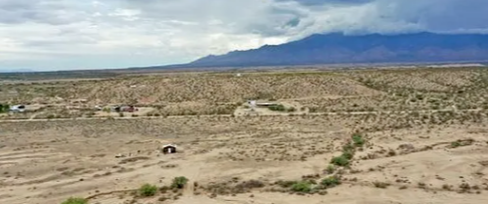 Area near Fort Thomas 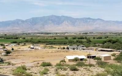 The mountains in the distance at Safford. 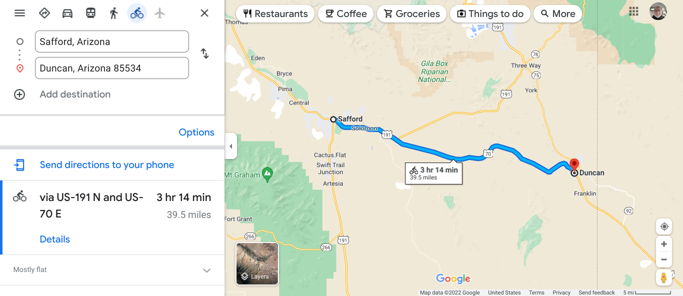 A gradual incline the down hill into Duncan 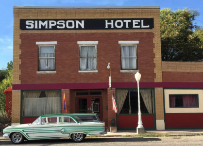 A nice Bed & Breakfast. They have hosted many cyclists. In reading my friends posts during his ride across California he daily mentioned the heat and how is was rough because of that. The group traveling together ranged in age from 68-71. Some areas are lacking services. Be sure to keep hydrated and bring plenty of liquids. 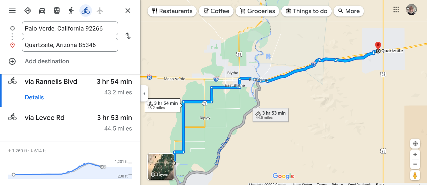 Quartzite is a popular winter RV spot. This town has several thousands of residents. 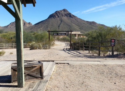 Dome Rock rises to 3314'. There are other summits around. This is a popular outdoor rec area. 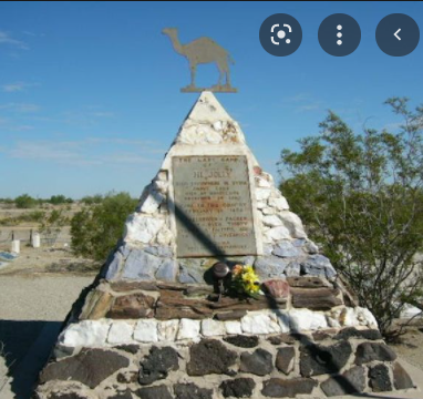 Hi-Jolly Monument in Quartzite. This monument is on the National Registry of Historical Places. Hi Jolly ( Hadji Ali) was from the Ottoman Empire and brought to the U.S. to drive camels for the Calvary. Camel usage did not catch on in this area. What an interesting fact to find out. 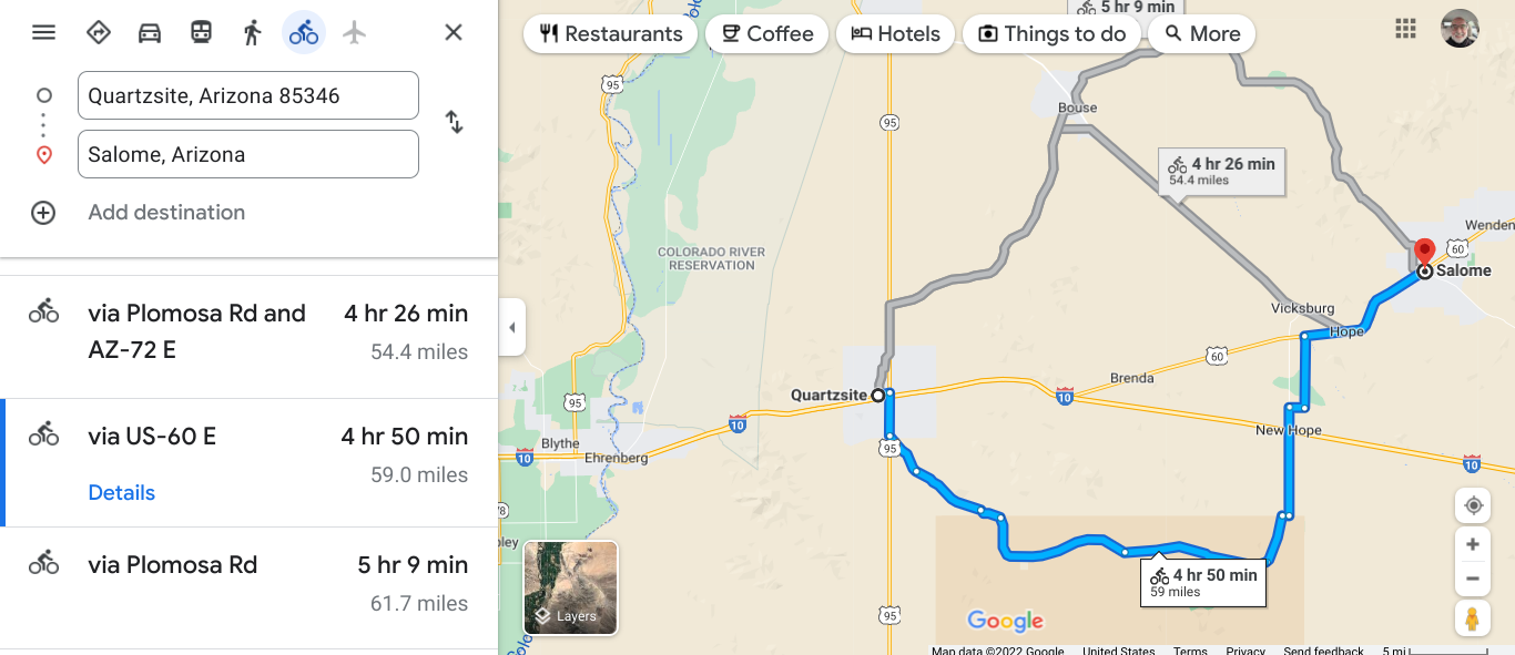 Each of these routes are fairly flat. 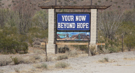 A funny sign as I went through the town of Hope. On this ride you are happy for shade, AC, cold drinks and a break from the Sun and heat. The city of hope had an RV park, service station, antique store and church. My hopes were met. Salome had a motel and that is where we stayed. Share rooms and share expenses. Salome has 1500 people. 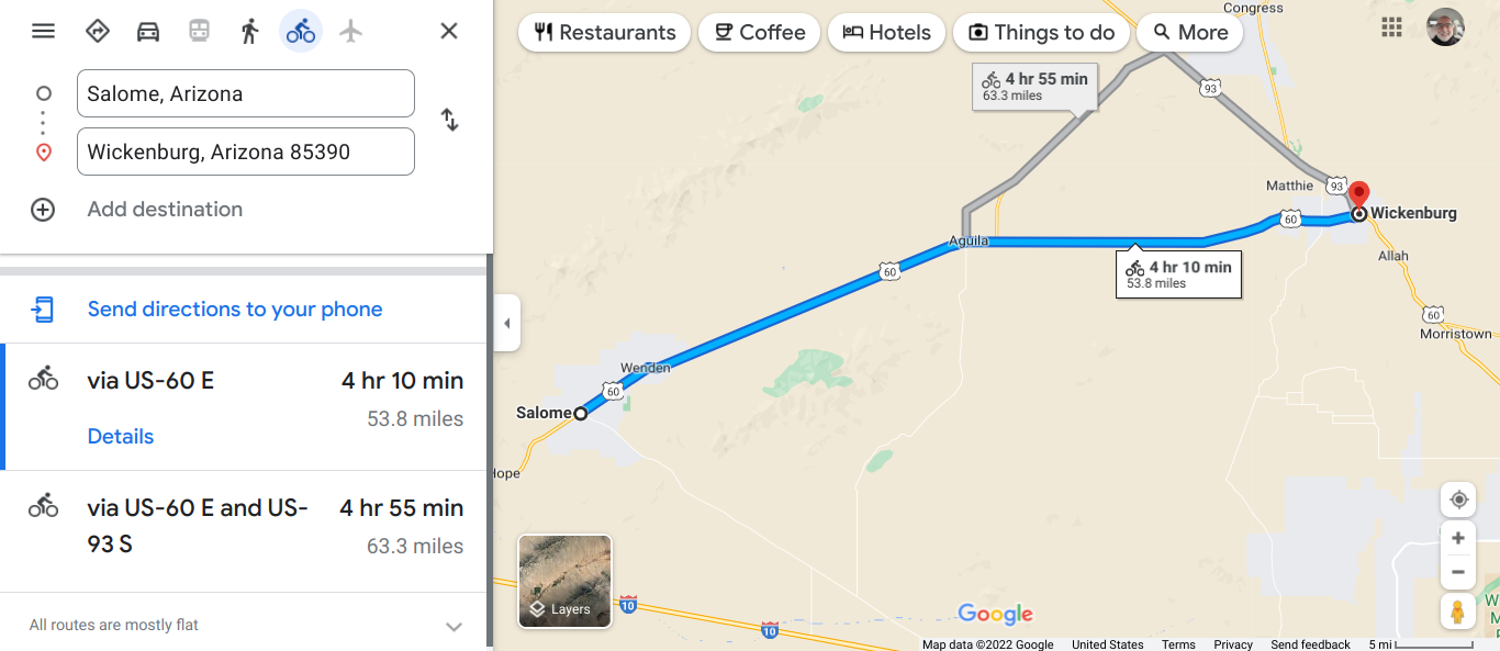 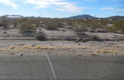 Near Wenden 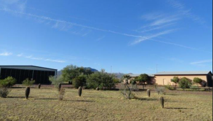 Near Aquila. 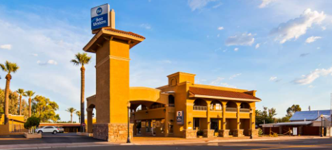 There are advantages of this sort of travel. Even in September and October you are dealing with heat on this route. You can see from the photos that you will feel gritty at the end of the day. A good shower and wash out of the kit will set you up for the next day. The complimentary breakfast helps get you going. As I have aged. I appreciate the comfy bed when riding day after day. Wickenburg has close to 8000 people and there were several choices of motels. 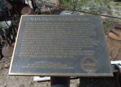 The Vulture mine was the most productive in AZ. Open for 80 years and mined gold and silver. 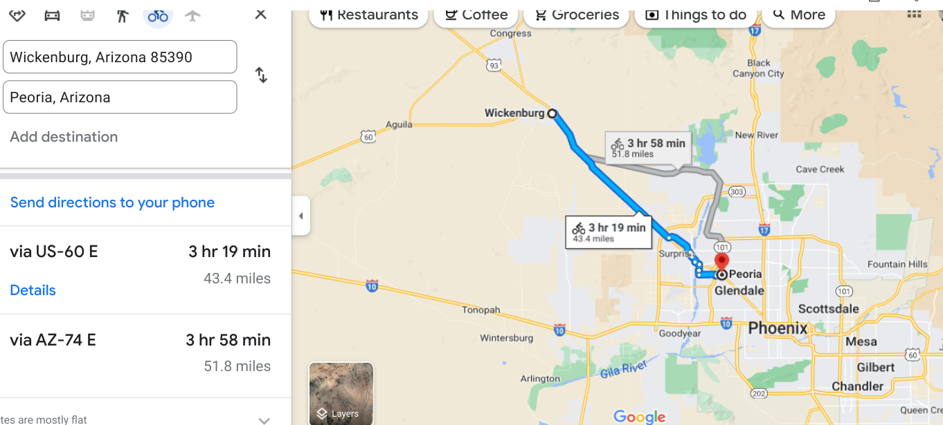 You see we are getting near Phoenix. 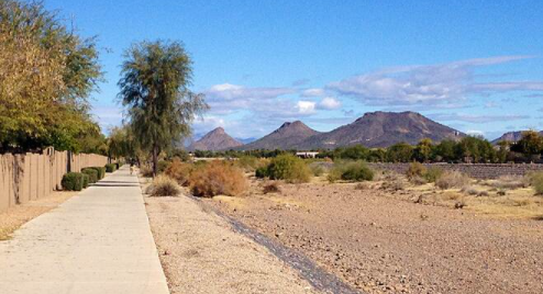 New River Trail. Peoria Peoria is a major suburb of Phoenix with 190,000 people. We appreciated the designated trail to separate us from traffic. 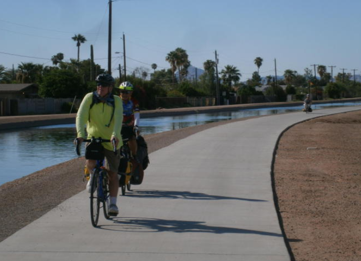 Arizona Canal Trail in Gilbert. 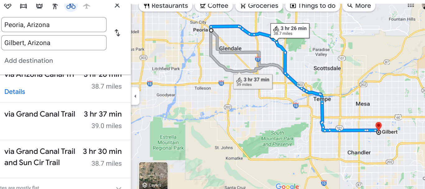 I will not take the couple months to travel across the country, but I do ride my bike every day. I will ride for an hour or two. As I follow a route generated by Google maps. A couple of years ago a friend did this route with five other friends. You may find he journal on Crazy Guy on a Bike dot org web site. Two other travelers did journals. Look under the names Jim Walter, Ed Shultz, Rich Ostrowski. This trip started on September 10th.  First stop. Always good to get out of the big city. 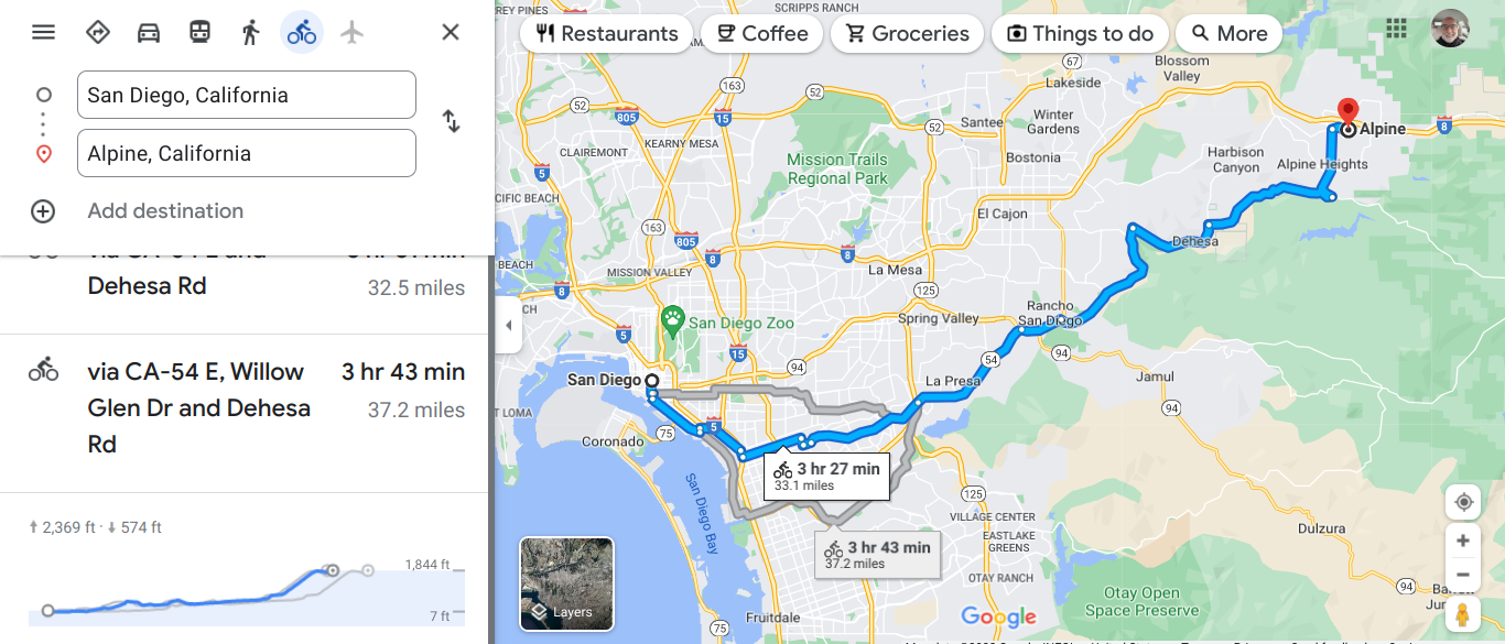 Starting point at Ocean Beach.  I picked this route because it was less elevation gain. It did not work out. I messed up. 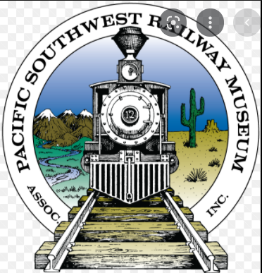 I saw this sign and took a side trip. I love trains. 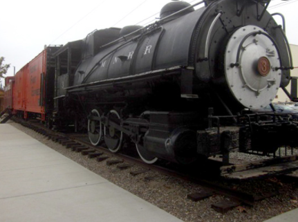 Steam locomotives are the best.  Barrett Reservoir I passed this and checked it out. You need a reservation to use the lake. It is one of 9 reservoirs used by the city of San Diego. This current dam was built 100 years ago. I guess the reservations help preserve the water quality. We all know that is important. 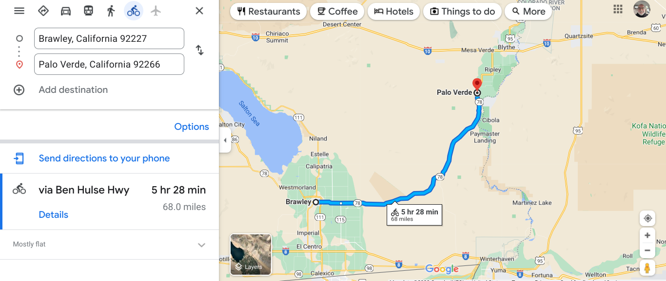 Came to Brawley from El Centro. Bring your water and stay hydrated. This is a desert area. 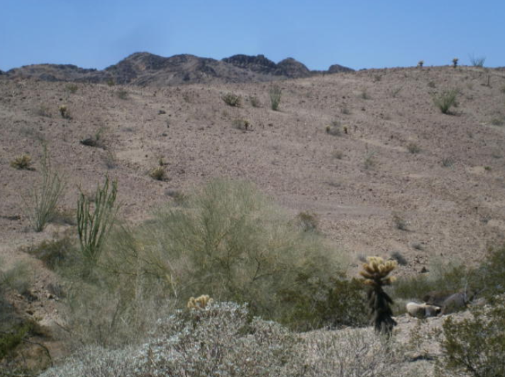 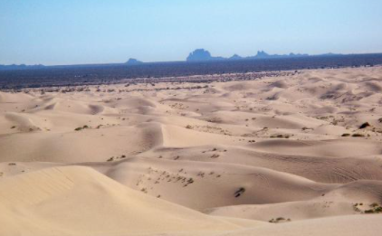 By Glamis there were sand dunes like we have in Michigan. 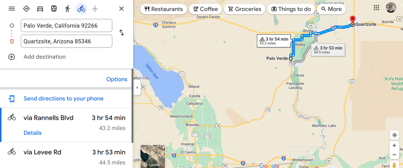 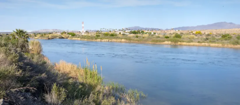 Colorado River outside Blythe, CA and now into Arizona. |
AuthorI love my riding days and look to find interesting and informative items to share. 
Archives
October 2023
Categories
All
Pacific Coast Highway
MUP |
 RSS Feed