Trace The Mitten
  • Home
  • About
  • Contact
  • Gallery
    • Michigan Lighthouses
    • Historic Sites
    • Day Rides >
      • Michigan
      • Indiana
      • City Signs
    • Tours >
      • Trace the Mitten 2011
      • Trace the Mitten 2012
      • Great Lakes Relaxed
      • Great Lake to Lake Inaugural
      • Michigander 2017
      • Michigander 2018
      • Michigander 2019
    • Equipment
  • Links
  • Blog

Happenings, Reflections, Ideas, Analysis

TRACE THE MITTEN

Southern Tier : Arizona from Gilbert to Duncan. Almost to NM.

10/9/2022

0 Comments

 
Picture
Picture
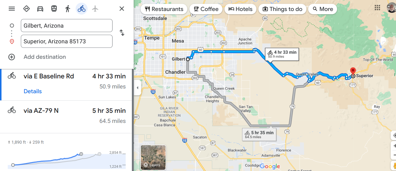
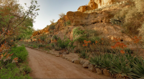
Boyce Thompson Arboretum
William Boyce Thompson was a mining engineer in  this area.  He created this beautiful spot in 1924. What a wonderful thing to do. This is the oldest and largest botanical garden in AZ.    This area is called the Sonorian Desert.  The gardens attract some unusual animals.  Be aware. 
Picture
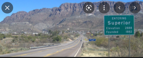
Coming into Superior.
Picture
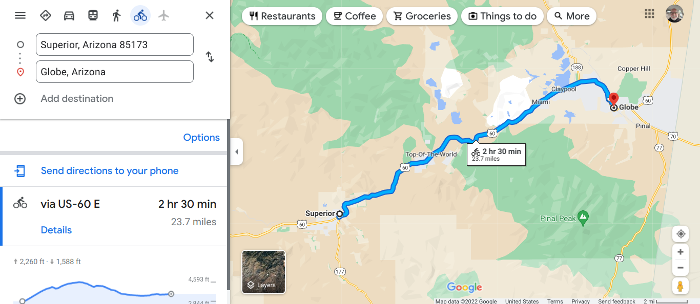
A couple of things I noticed and they are connected.  Cell service when you are on the road away from cities may be spotty.  Plan your motel destination before you leave the town.  You can always get the room when you arrive, if the season is not too busy.
Picture
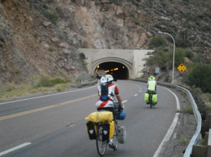
Queen Creek Tunnel.
This tunnel opened up in 1952 and has three lanes. It is 1217' long and the grade is 6%.  At that pitch I am walking.  Be sure to travel with bike lights.  We continued up to Top of the World.
Picture
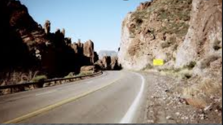
We are at 4528". 26 miles on this day is enough for me.
Globe, like many towns took off as precious metals were found.  In 1875 silver was discovered and then copper.  Globe still has one of the few copper smelters.  Old Dominion mining operation below.
Picture
Picture
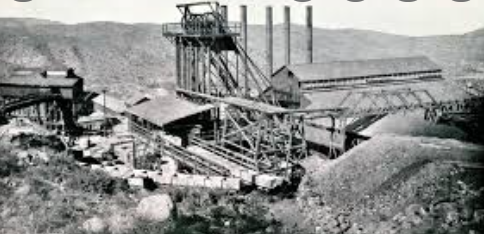
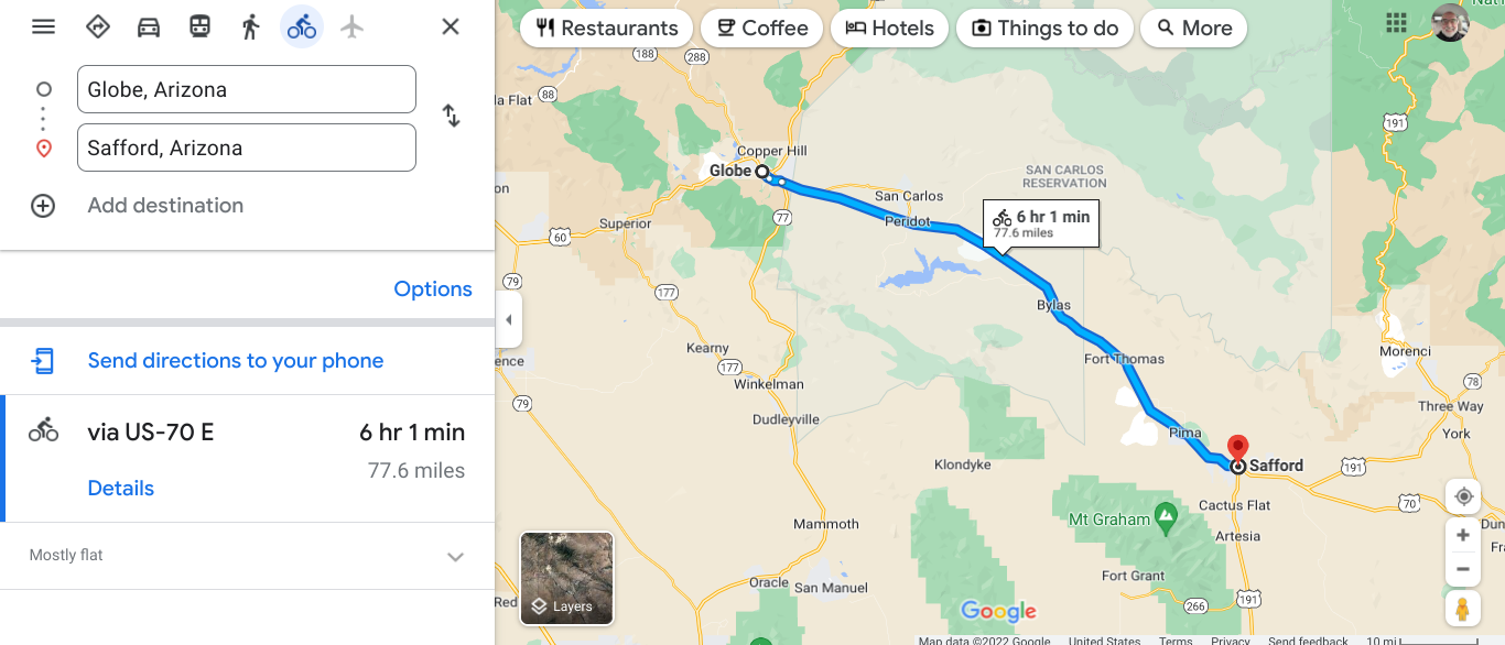
This section is mainly flat.
Picture
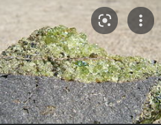
Mineral peridot.
Part of the fun of bike touring is learning new things.  We go through the town of Peridot and learn that it is named after a mineral found in basalt.  I remember that basalt is from volcanic activity.
Picture
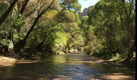
Aravaipa Canyon Wilderness Area.
This area in managed by the Federal Government, BLM.  A permit is required and only 50 people a day are given access.  This is why planning ahead is a good practice.
Picture
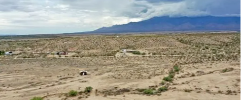
Area near Fort Thomas
Picture
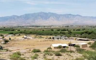
The mountains in the distance at Safford.
Picture
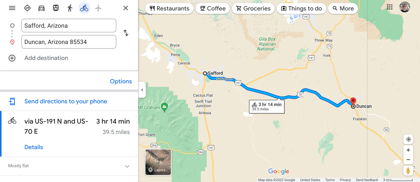
A gradual incline the down hill into Duncan
Picture
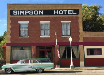
A nice Bed & Breakfast. They have hosted many cyclists.
0 Comments


Leave a Reply.

    Author

    I love my riding days and look to find interesting and informative items to share.

    Picture

    Archives

    February 2023
    January 2023
    December 2022
    November 2022
    October 2022
    September 2022
    August 2022
    July 2022
    June 2022
    May 2022
    April 2022
    March 2022
    February 2022
    January 2022
    December 2021
    November 2021
    October 2021
    September 2021
    August 2021
    July 2021
    June 2021
    May 2021
    April 2021
    March 2021
    February 2021
    January 2021
    December 2020
    November 2020
    October 2020
    September 2020
    August 2020
    July 2020
    June 2020
    May 2020
    September 2019
    August 2019
    April 2019
    March 2019
    February 2019
    January 2019

    Picture

    Categories

    All
    Lands End To John O' Groats
    MUP
    Pacific Coast Highway
    Route 66 Virtual Tour
    Sites During Rides
    Tour Prep
    Upper Peninsula
    Virtual Tour Yellowstone

    Pacific Coast Highway
    ​MUP

    RSS Feed

Home  |   About  |  Contact  |  Blog  |  Gallery  |  Links  |  Tours  |  Rides   
Trace the Mitten - Footer Icons
Proudly powered by Weebly
TraceTheMitten.com © 2014
  • Home
  • About
  • Contact
  • Gallery
    • Michigan Lighthouses
    • Historic Sites
    • Day Rides >
      • Michigan
      • Indiana
      • City Signs
    • Tours >
      • Trace the Mitten 2011
      • Trace the Mitten 2012
      • Great Lakes Relaxed
      • Great Lake to Lake Inaugural
      • Michigander 2017
      • Michigander 2018
      • Michigander 2019
    • Equipment
  • Links
  • Blog