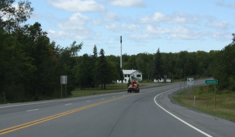
 Moving out of the wilderness and on to the highway with a good road with a shoulder.  This area there is lake effect snow from the moisture picked up from Lake Superior due to the proximity.  I am entering the Keweenaw Peninsula which is an obvious protrusion into Lake Superior when you are looking at a US map.  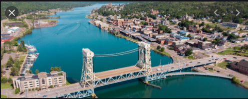 From my map it looks like there is a channel across the peninsula that would allow ships and boats to go across. This bridge span goes up to allow the passage of taller vessels. In research, I discovered that this is called the Keweenaw Waterway . It was first dredged in 1860 and has a depth of 25 feet. Locally the area north is known as Copper Island because it is not connected to the Upper Peninsula. Only way across is by US 41/ M-26.  The dark line across the lakes indicates the border with Canada. The island in the upper left is Isle Royal, a US national park. 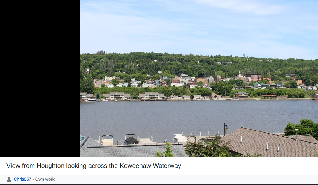  Hancock is consistently noted as the 3rd snowiest city in the US by The Weather Channel.
0 Comments
I moved along the main road and the shoulder was plenty wide, smooth and clear of debris. I stayed in Cedarville which developed in 1884 as part of the lumber area. Now it is a wonderful vacation area. 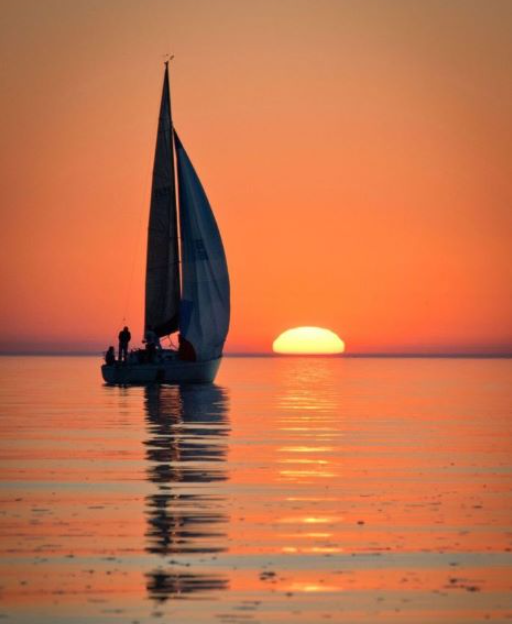 You will see some very big sailboats on the Great Lakes. Some have sleeping quarters. 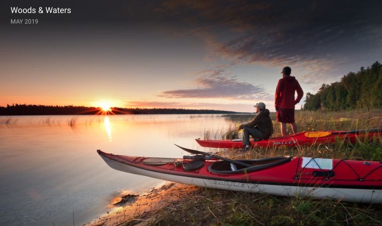 This is just one of the places you can rent gear to enjoy the waters. Brave souls even go out in the colder weather too. 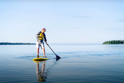 I will try this on warmer days. 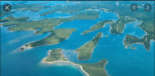 From Cedarville you will find Les Cheneaux Islands. There are 36 small islands along a 12 mile stretch of Lake Huron. 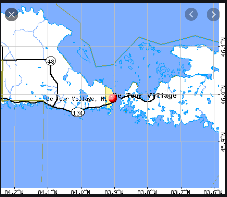 On the eastern tip of the Upper Peninsula you will find the Village of De Tour. The gray line above indicates the US-Canadian border. Drummond Island is across the straits on the right border of this map. 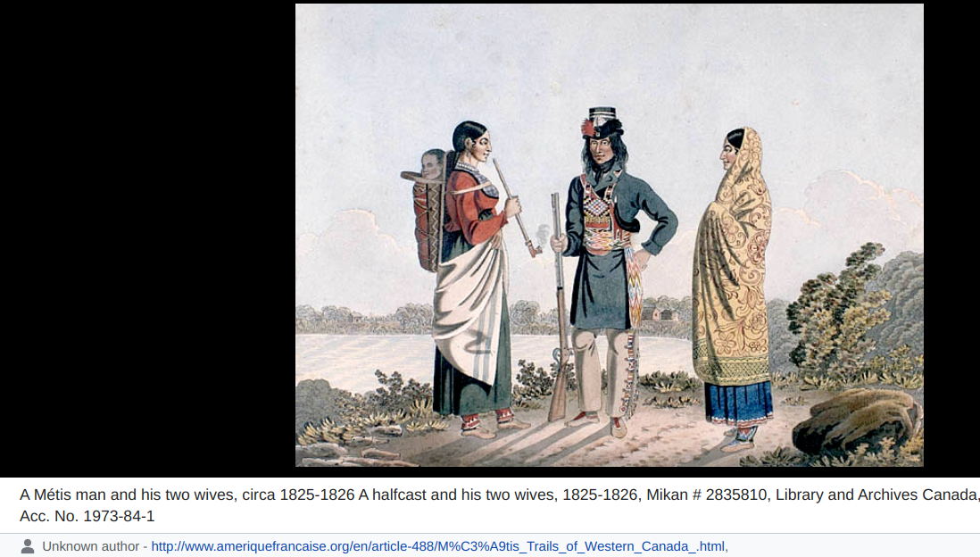 Metis are a multi ancestral indigenous group in Canada and the US that lived in the this area. Fur trade was very big in this area as the Europeans spread through the region. 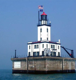 The De Tour reef light station. The gap is very narrow and tricky to navigate. 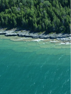 Drummond Island is the 7th largest lake island in the world and the 3rd largest in Lake Huron. It is 134 square miles. This is the north shore showing a salt water coral bed. http://www.visitdrummondisland.com/fossil-ledges.html 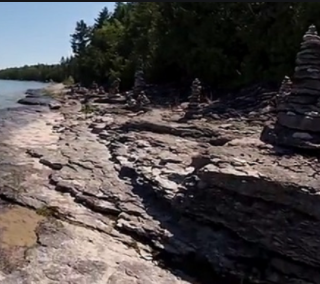 Another view of the fossil ledges. It is hard to believe that salt water once was in this area. There are mineral deposits throughout Michigan. 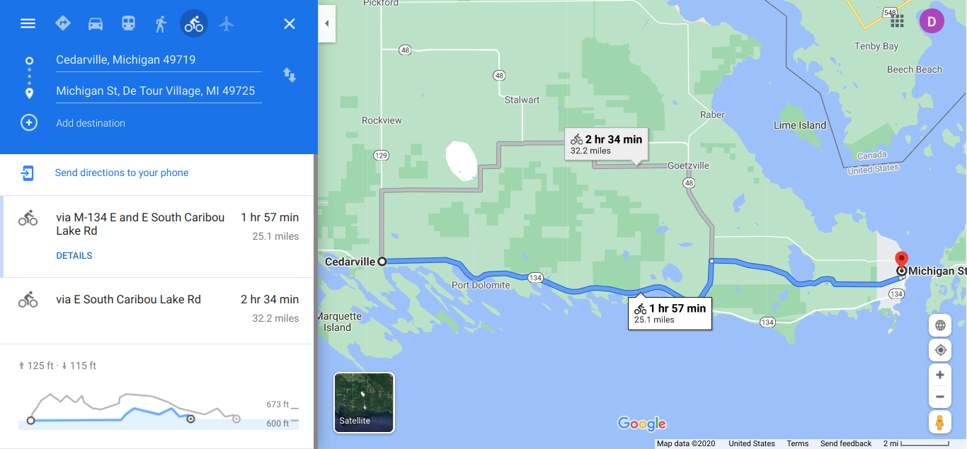  Going to Drummond Island is worth the trip. 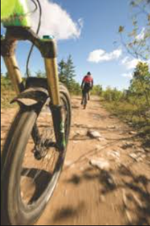 Some areas are best with the mountain bike. 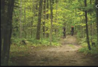 Here the road tour tires will work. When people saw my Lower Peninsula tours, they would ask when are you going to do the Upper Peninsula? In the gallery area you will find some photos from the Great Lakes Relaxed tour done by Adventure Cycling. I decided today that instead of heading home one I get to the Mackinaw Bridge I will head east and trace the UP! I have to do something during the winter riding season. Please continue with my tour. 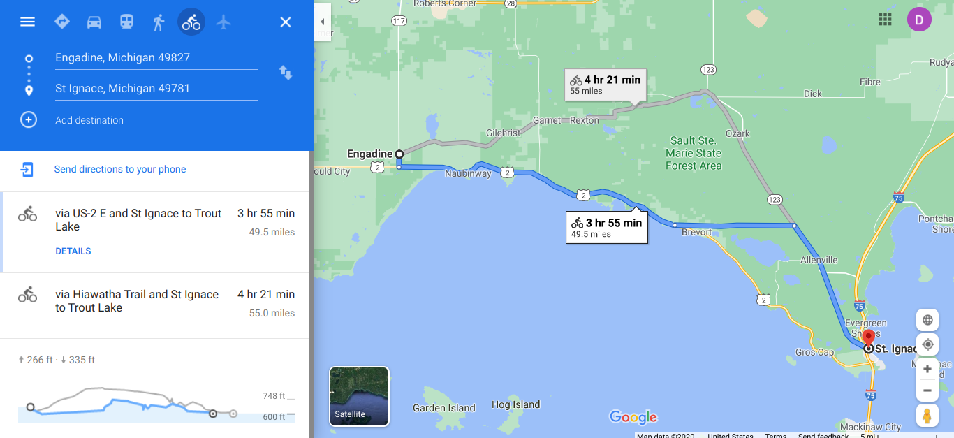 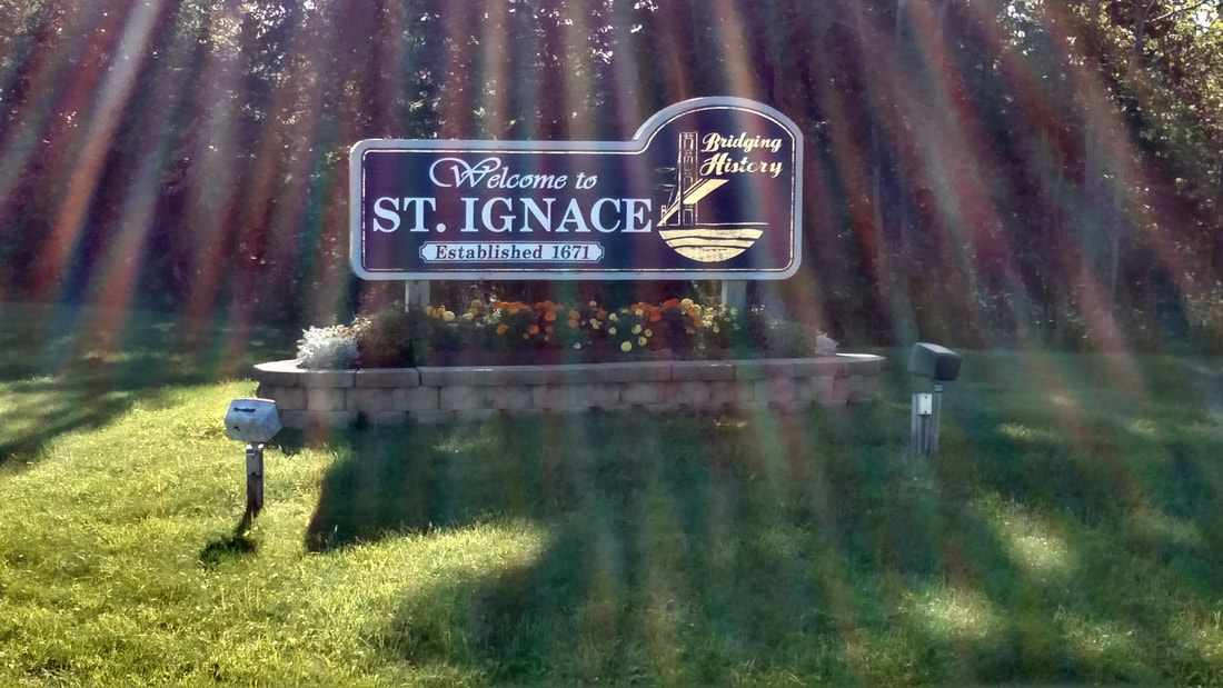 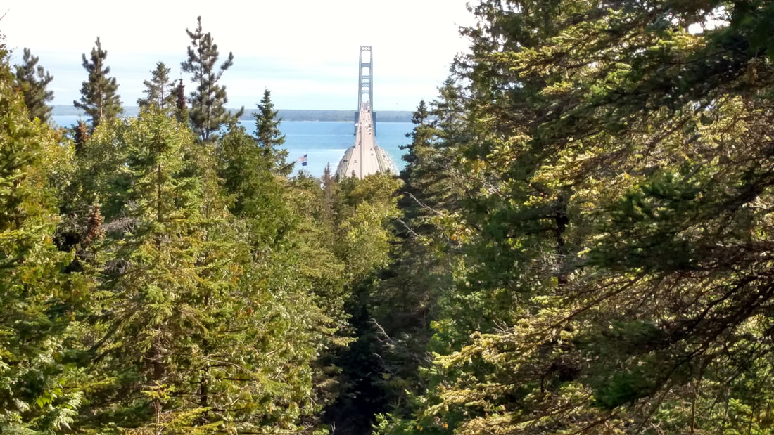 From the St. Ignace State Park looking south toward the Lower Peninsula. 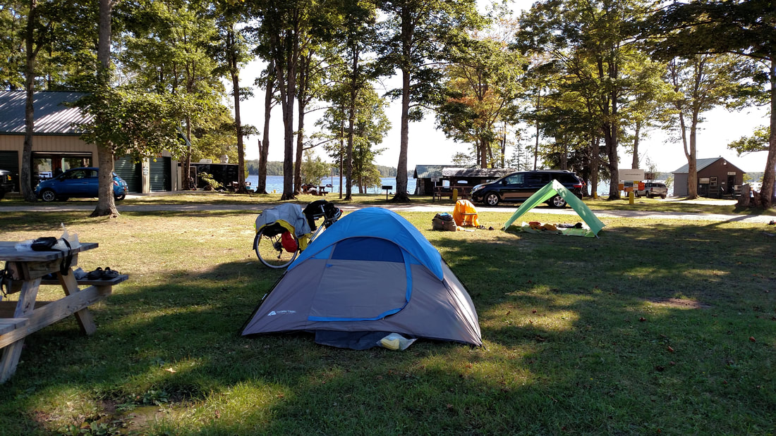 What a beautiful setting to camp. A train track was just behind where I was standing and I awoke two times during the night by the train. 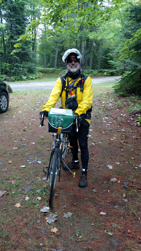 It was a day of on and off rain. I decided to just put the rain gear on. That is a shower cap from the motel on my head. I now have a nice waterproof cap from Sealskinz. 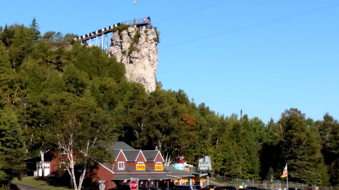 Some times there are interesting sights that I later wished that I had stopped. I later researched Castle Rock, which is also know as "Pontiac's Lookout" by the Ojibwa Tribe. The rock is 195 feet above the water and provides a view of up to 20 miles. From here you will see Mackinac Island, Lake Huron and St. Ignace. Pontiac is a well known Odawa war chief from the mid 1700s who lead the Native Americans against the British. He moved throughout the Great Lakes Region. 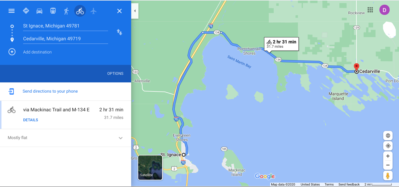 Now further east on the Lake Huron side. |
AuthorI love my riding days and look to find interesting and informative items to share. 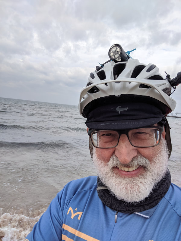
Archives
October 2023
Categories
All
Pacific Coast Highway
MUP |
 RSS Feed