|
Since I started this virtual 1,036 miles since I left eastern Minnesota. Chester does have a city park for camping, but like most of these town you will hear the freight trains. 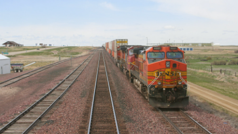 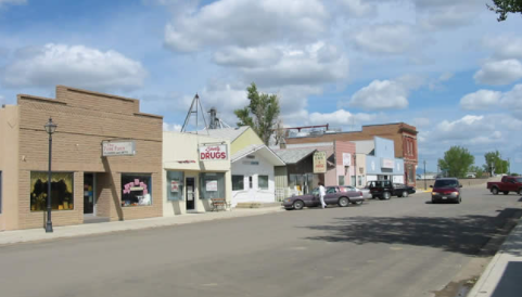 Downtown Chester. Stock up when you get the opportunity.  South of Chester is the Tiber Dam which forms Lake Elwell, a wonderful recreation area. 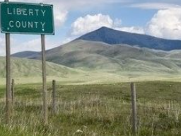 Grass Hills to the North. 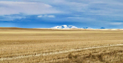 Don't count on always getting a tailwind. Today the wind is at 19 mph from the SW. 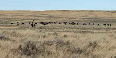 I spotted some cattle grazing. 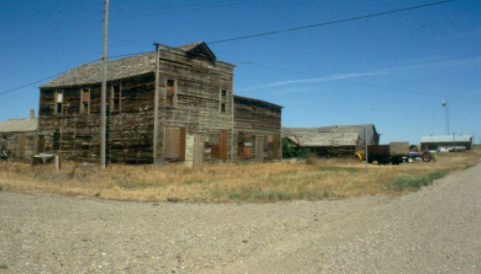 Common to see a few wooden buildings. This is in Devon. 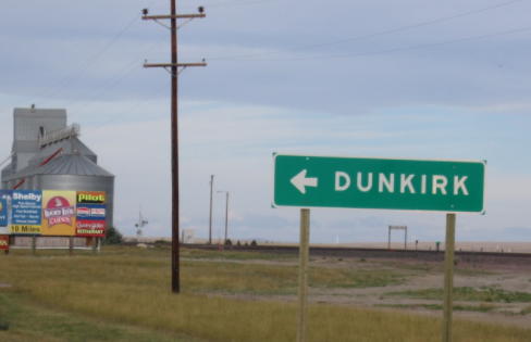 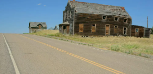 Coming into Galata. 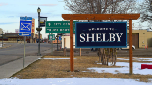 Shelby with a population of over 3100 and at elevation 3100' You pass through small towns, but eventually you will come to a place that is big enough to restock. Interstate 15 passes north and south. Two train lines crisscross here too. The town hosted a fight featuring the heavyweight champ, Jack Dempsey in 1923 and it nearly bankrupted the town. I am sure glad that it is still here. This route along US 2 has been called the Hi Line and I asked about that. The origin of the name is that it is the northern most railway line in the US. 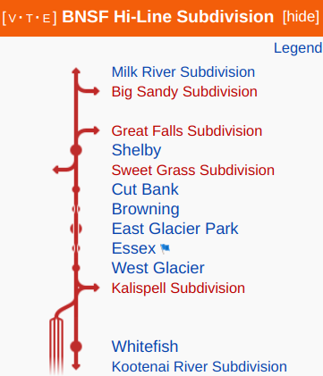 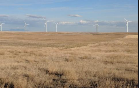 The wind that I experience led me to think that wind machines would be somewhere. 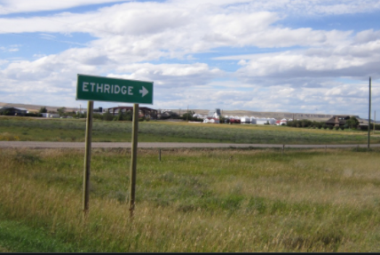 No services at Ethridge, sorry.  I better be ready for more climbing.  What a cute roadside attraction for a photo. This town is only 30 miles south of the US-Canadian border.
0 Comments
Even in the summer it is easy to run into cold nights. I mean nights that get into the 40s and 30s. My sleeping bag is rated to 20 degrees F. I like to take a wide range of clothes for comfort too. Rain pants and jacket provide a nice wind break and line them with leggings and a long sleeve top. I like my micro puff jacket for the mornings and evenings in camp. 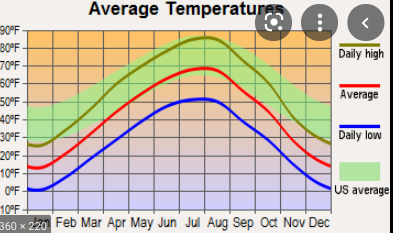 The temp chart for Harlem, MT. 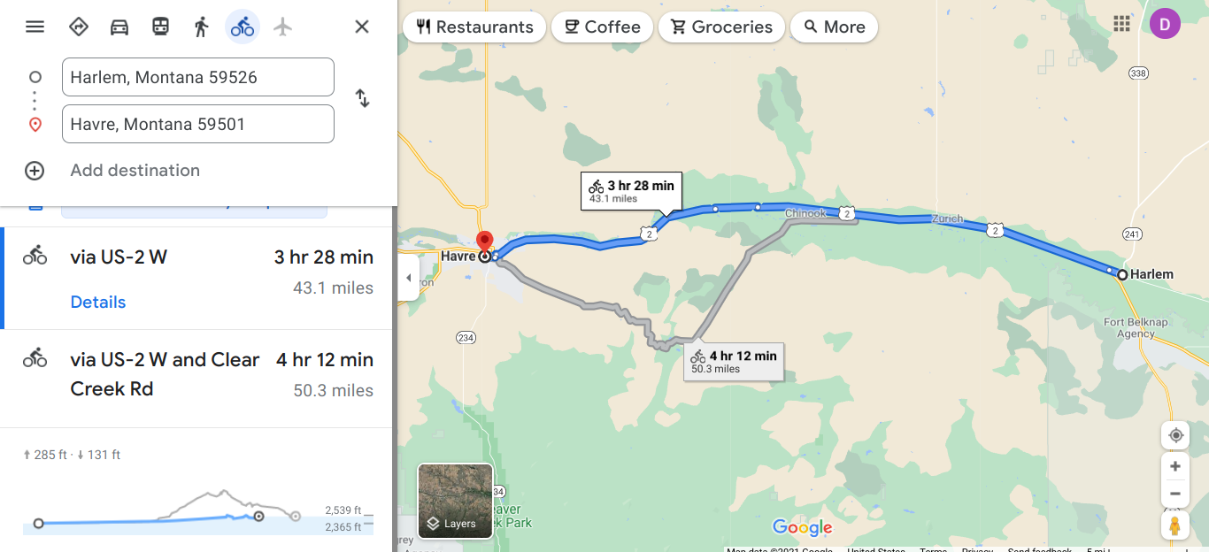 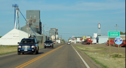 Coming into Chinook. Population 1200. A chinook is a warm wind from the eastern side of the Rockies.  I learned that the high schoolers are known officially as the Sugarbeeters. We do a lot of sugar beets in Michigan. 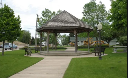 It is great that these towns develop a city park for people to gather. 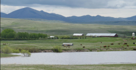 Nice to see the Bear Paw mountains in the distance. 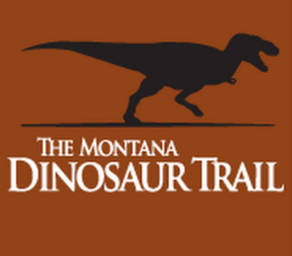 There are 14 museum sites across the state. Be sure to check these out. 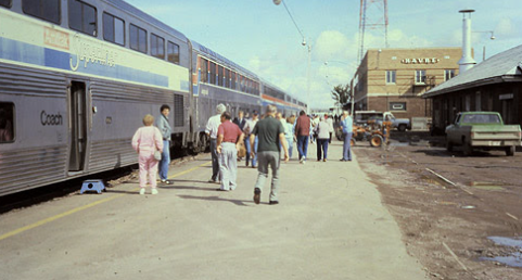 The Empire Building has a stop in Havre and I remember it from my train trips. Havre is named after the French port city of Le Havre. This is a major railroad service center because it is midway between Minneapolis and Seattle. The city has around 9300 people. 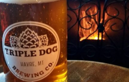 What a great spot to recharge. 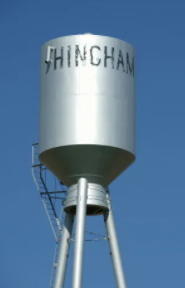 In Hingman I am now at 3031' 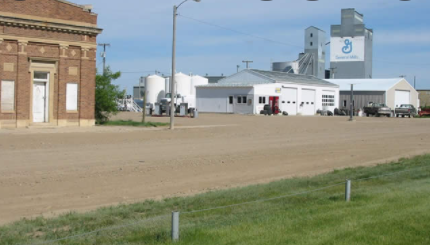 Downtown Hingman. Think of this place when you eat your cereal. 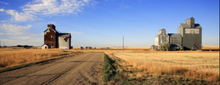 Old (wooden) and new (steel) elevators. Constant reminders of farming. 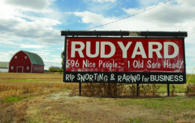 Ha! 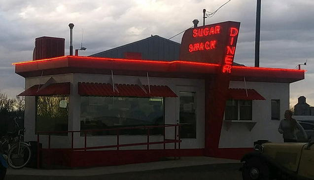 This hot spot when the mild weather is here. A draw for classic cars. 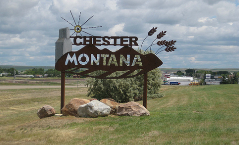 Chester has about 1000 people and is at 3133'. 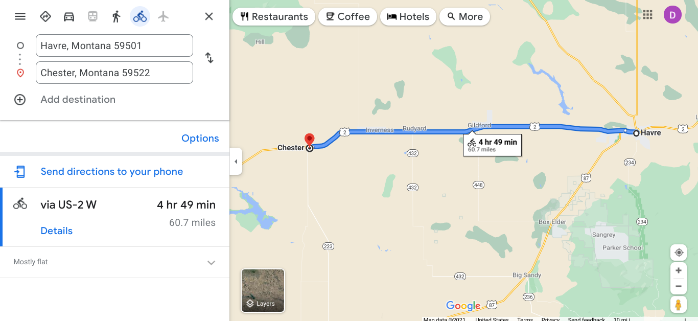 I continue along US 2. 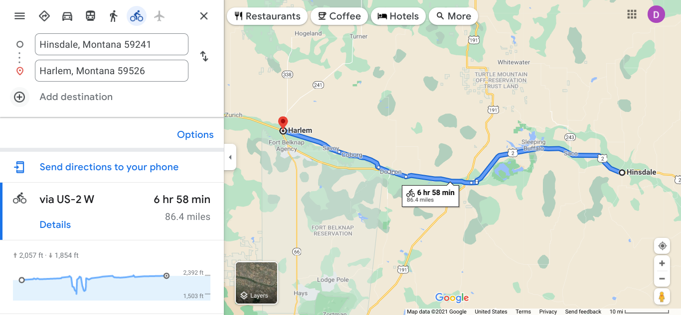 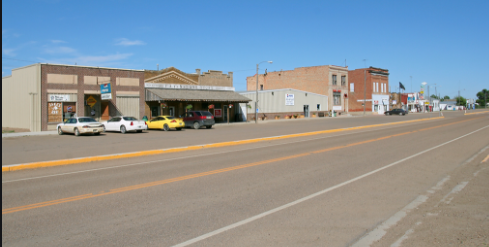 Saco along the main drag.  Old Brand Saloon 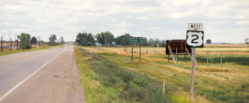 On to the next town. 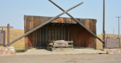 Sleeping Bear Rock is on the National Register of Historic Places. https://en.wikipedia.org/wiki/Sleeping_Buffalo_Rock  Breakfast is a great meal for me on the road and it will energize my day. This is in Malta. I have taken the Empire Builder Amtrak train several times and it goes through Malta daily. 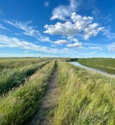  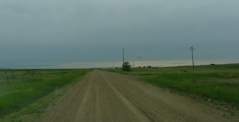 Looking down a secondary road outside of Coburg, MT. Riding a steady 2300' 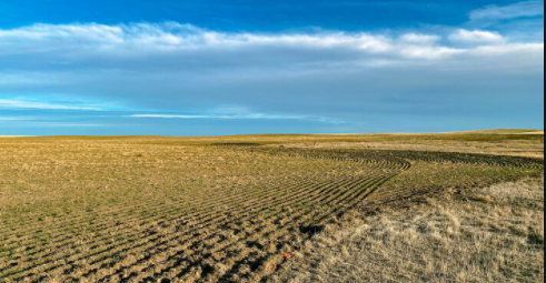 Outside of Harlem you continue to see farmland. Heading in a north direction from Circle.   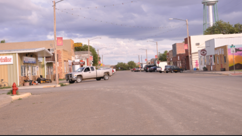 Circle, MT  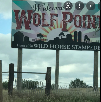 The stampede is the oldest in MT and happens on 2nd week of July. Wolf Creek has a population of 2500 and it is the largest community in the Fort Peck Indian Reservation. Assiniboine, Nakota, Lakota, and Dakota peoples inhabit the area that is part of four counties. The Wolf Creek meets the Missouri River near town. 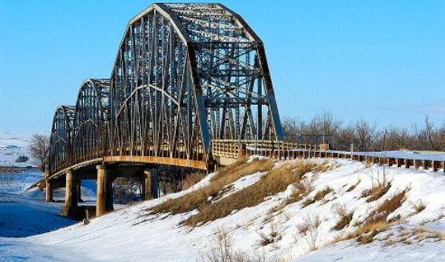 The Wolf Point Bridge opened in 1930 and is on the National Register of Historic Places. 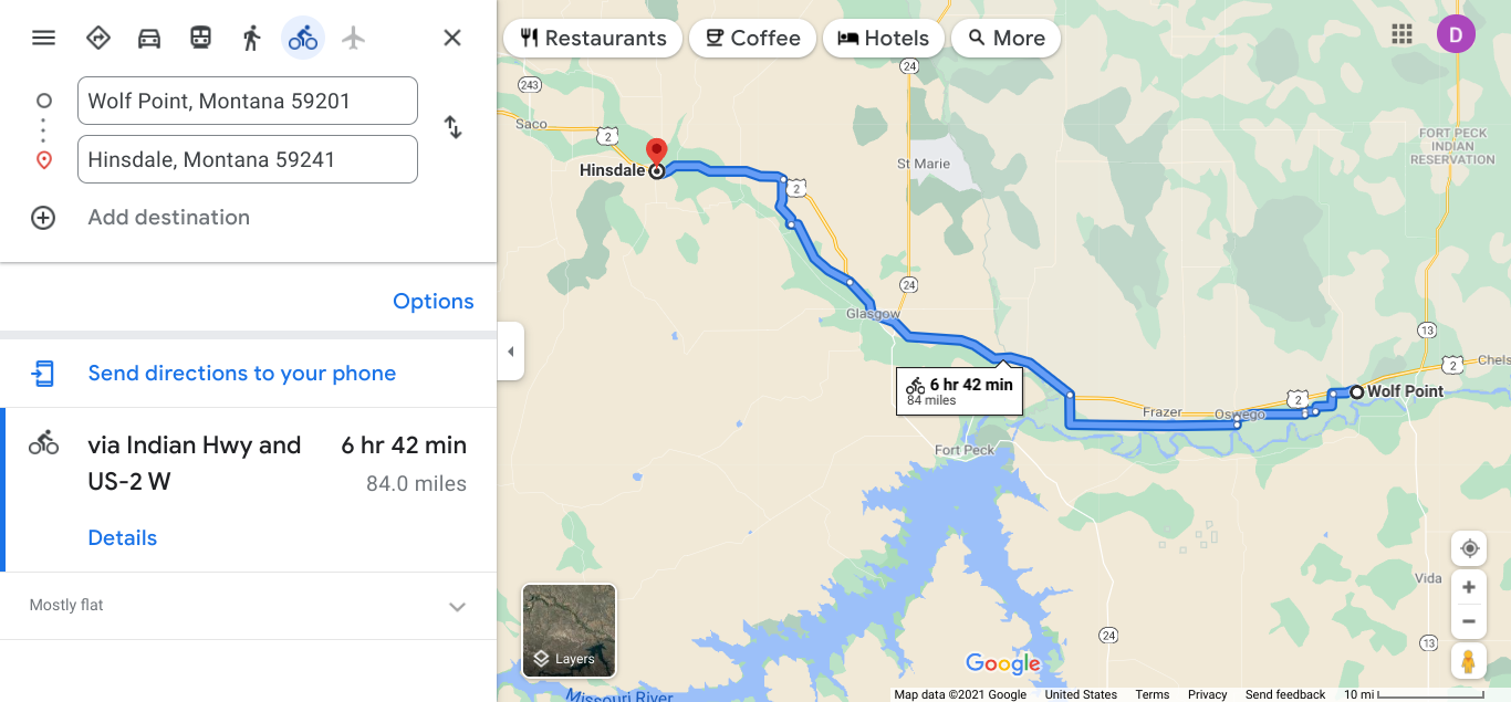 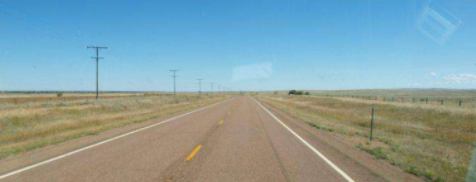 From Wolf Point I turn west and follow US 2. The traffic is not bad and shoulder is comfortable. I remember a US 2 in NW Indiana. 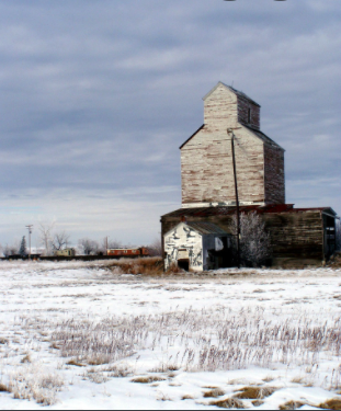 Near Oswego 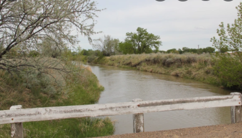 The Milk River, a tributary of the Missouri, runs through this area. In addition to MT this river is in Alberta. 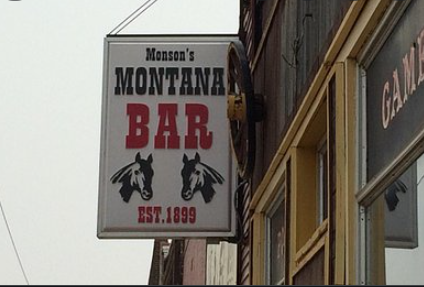 In Frazer. When you find a place like this you need to stop. The elevation for Frazer is 2060'. The St. Paul, Minneapolis and Manitoba Railway (SOO Line) established this town as a station. 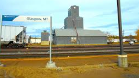 Glasgow has a population of 3200. Elevation 2090' This stretch was 137 miles and I have gone 844 miles on this virtual trip of the Northern Tier
Glendale was the first city that I reach in Montana. It's population is 5,126 provides many comforts that a rider comes to appreciate more during a tour. 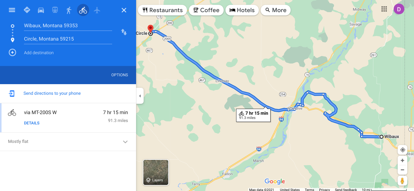 At Glendive the elevation is 2054' and the farm and ranch land reminds me of North Dakota. The town serves as a hub for the regional agriculture and ranching economies which helps to maintain the community. 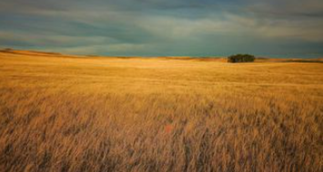 I have seen many miles of farmland and great expanses of land. 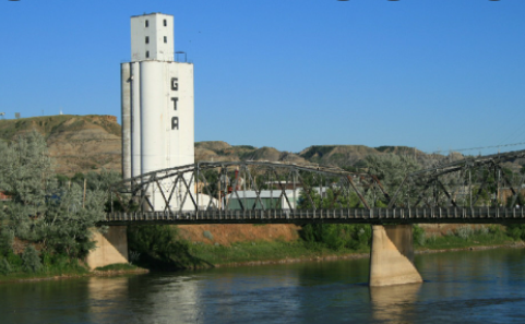 Like many of the towns the railroad established a station and that built the community. The Yellowstone River goes through Glendive and these always helps towns. 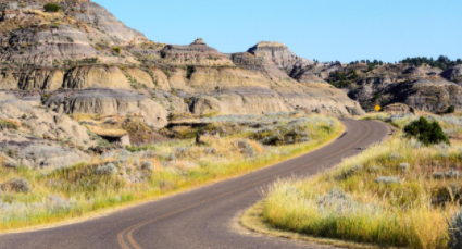 OOO. The area looks different. Outside of Makoshika State Park is outside Glendive. This is a nature preserve and public recreation in the badlands area. This is the largest state park in Montana. In 1991 triceratops skull was discovered and in 1997 a thescelosaurus skeleton was discovered. Both dinosaurs are on display. 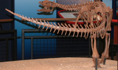 Thescelosaurus skeleton is the most complete found. These grew 8-15'. 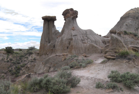 The formations are in the park are something to enjoy.  The Circle town park allows camping. There is also the Horse Creek RV Park. The town has a couple service stations. The high school is here too. The elevation is 2451'.  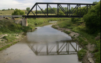 The Heart River is a tributary of the Missouri River. 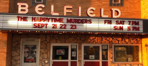 Belfield is just south of the National Park. This theater and performance center was renovated in 2017. 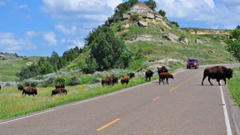 This may be a good time to stop and catch your breath. Theodore Roosevelt National Park is over 100 square miles of preserved natural habitat. One thing to do is to take the 36 mile scenic drive. TR was one of my favorite presidents. He was instrumental in setting aside these natural treasures for all to enjoy. The Painted Canyon is also another attraction. 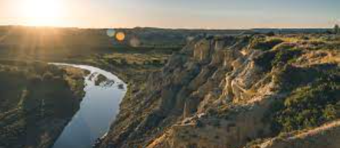 The Little Missouri River run 560 miles from Wyoming through ND. 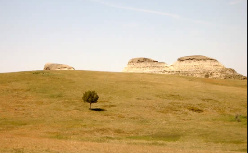 The Little Missouri National Grassland is over 1 million acres and is the largest in the US. 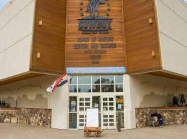 In Medora you can see the ND Cowboy Hall of Fame which opened in 1995. 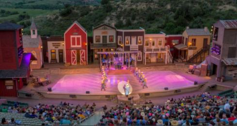 Depending on when you visit, you may enjoy the Medora Musical. 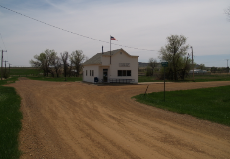 Not much is left at Sentinel Butte. The butte itself is 3 miles away. 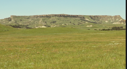 The elevation is over 2700'. 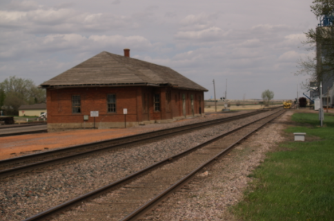 I learned that the city of Beach, ND was named after an infantry captain that lead the railroad survey crew through the area. 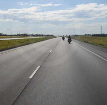 There are some times when the bike route has you on I 94, but the shoulder is wide for your safety.  I am glad to see the craft beer available and feel good supporting the local businesses in the towns I pass through. 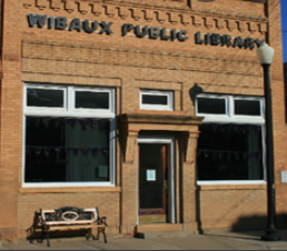 Public libraries are a good source of information and WIFI. They are noted on my maps. |
AuthorI love my riding days and look to find interesting and informative items to share. 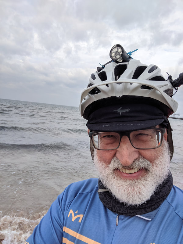
Archives
October 2023
Categories
All
Pacific Coast Highway
MUP |
 RSS Feed