|
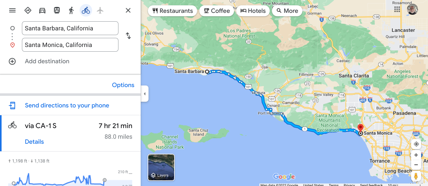
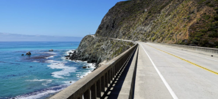
This virual tour was started months ago, but it was broken up by my tour in the Upper Peninsula and then my fundraising ride for Alzheimer's Disease. The PCH mileage was separate from these two tours totaling 1847.7 miles. The biggest cities were in the second half of the trip: San Francisco, Los Angeles and San Diego. As I would check these routes, I found many small towns and State Parks. I could not remember all the beaches that I saw. Many wonderful views make this a scenic trip by car or bike. Traffic would be rough in reality, even with a wide shoulder. Having traffic buzz by you all day is nerve wracking. I could see where there would be small roads to give you a break. There were many opportunities to camp and I bet many Warmshowers hosts. I learn a lot about the economies that once boomed and some places and now are quiet. I could see lighthouses just like Michigan. There was plenty of climbing even though we were along the ocean. I have driven several segments of this: Canon Beach in Oregon. Redwoods in California, Half Moon Bay, Santa Cruz to Big Sur, Santa Monica to Santa Barbara and San Diego. Riding the whole route would be very long to endure. Below are the maps from Santa Monica to Imperial Beach. Now my virtual trip will move from San Diego east along the Southern Tier. 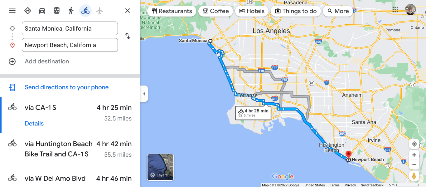 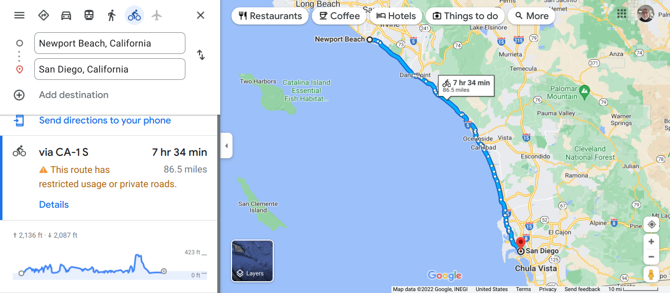 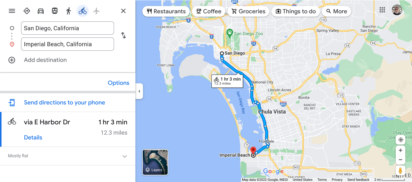
0 Comments
 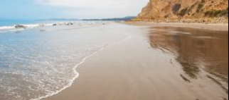 Another wonder beach near Summerland. There are so many places that encourage you to explore. Carpinteria is a popular surfing destination and for over a century it has used the slogan "World's Safest Beach." 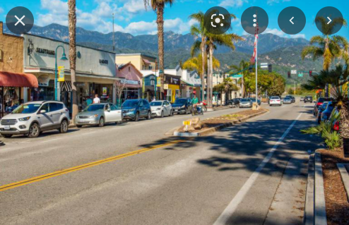 Carpinteria 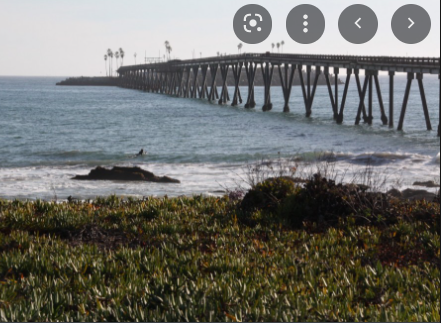 Beach at Mussel Shoals with Richland Pier. 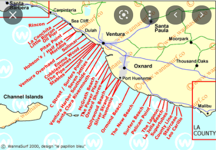 I see that there are many places to surf. 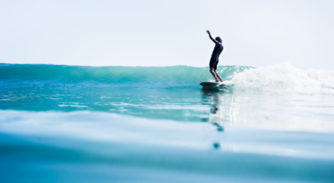 I will stick with cycling.   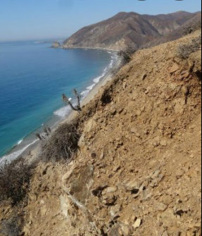 Point Mugu. The name is Chumash for beach. 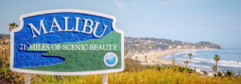 This continues to be a great beach stretch. 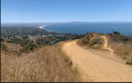 I took a side trip to Topanga State Park. 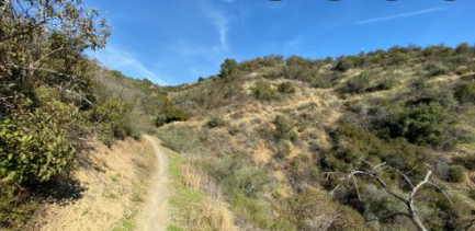 My 32mm tires did pretty good on these trails and roads. I did run into some deep sand. 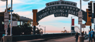 It was great to arrive in Santa Monica. This is the end point for Route 66. I did that virtual ride in 2020.  I have heard of San Luis Obispo. This city has a population of over 47.000. The Spanish founded the mission in 1772. Many of their settlements were missions. The area today is a popular tourist stop. 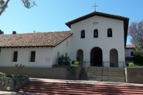 Mission San Luis Obispo de Tolosa. 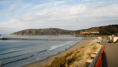 Avilia Beach still has a commercial fishing pier. Inland are apple orchards. The impact of the Chumash people in this area with the name of the city Pismo Beach. Pismo is the Chumash word for tar. They used the tar found in this area to caulk their canoes. There are several wineries near. During the 1950s they adopted the title "Clam Capital of the World", but this is no longer used. 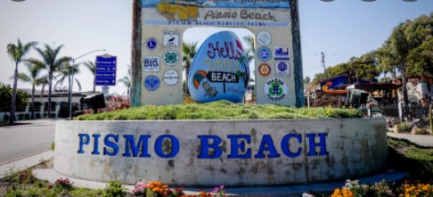 I have loved powerful photos created by master photographers of the 20th Century. In learning about Nipomo I found this photo as a connection to a familiar photo. 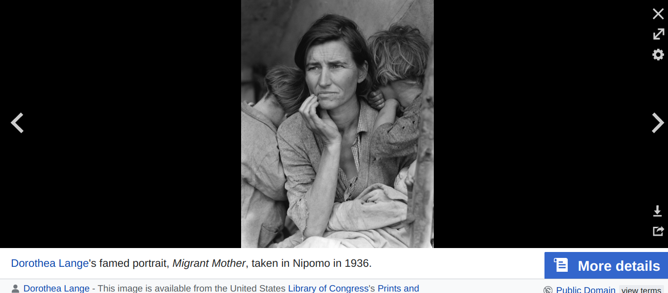 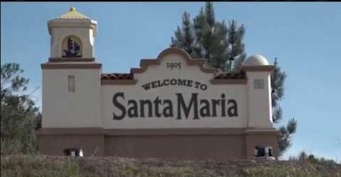 Santa Maria is a city of over 105,000 people. 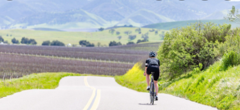 There are wineries outside of town and a great place to ride without panniers. The next town is Orcutt. It is named after William Orcutt, who was with Union Oil of California as a petroleum geologist and engineer in the late 1890s.. There was a big oil field near Santa Maria. He also found fossils in the La Brea Tar Pits that brought attention to the importance of the site. 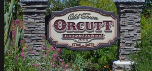 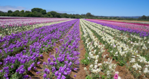 Flower fields outside Lompoc. Again the word is from the Chumash which means lagoon. 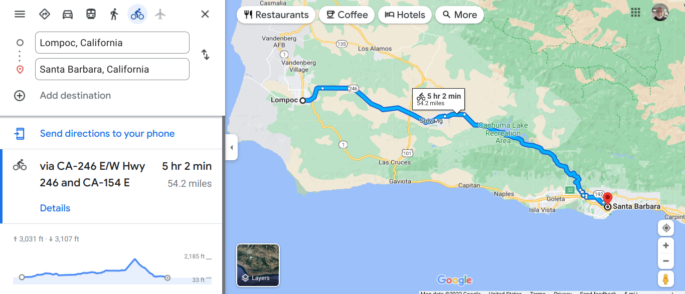 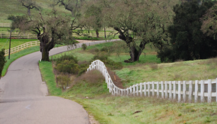 There are some wonderful quiet side roads. Buellton is in the Ynez Valley. In 1924 the Andersens opened a restaurant and it is still going strong. This route was a key road connecting LA and SF for many years. The food must be good to be open this long. 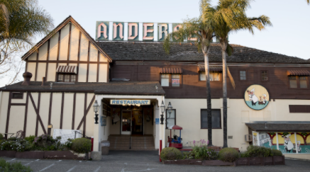 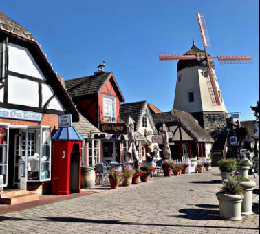 The town of Solvang . This area has been settled for thousands of years. Over 100 years ago 9000 acres was purchased by a group of Danish immigrants settled here. Today the area attracts over one million visitors each year. Solvang means "sunny field" in Danish. 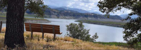 Lake Cachuma Recreation Area  This section of the trip ended in Santa Barbara. People love the climate of this area. The winters are mild. The town is between the Pacific Ocean and the Santa Ynez Mountains. The city architecture is a Spanish style.
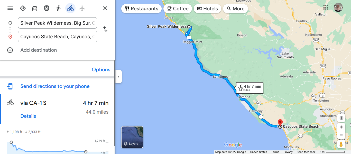  This is what I picture riding along the Pacific Coast. Between Ragged Point and San Simeon is described as the best cycling that you may experience. This is the Southern end of the Big Sur. There is a good walking trail noted. San Simeon was next and the big attraction is the Hearst Castle build about 100 years ago. 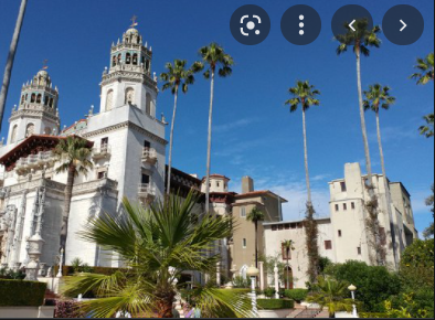 This point is about halfway between San Francisco and Los Angeles. Cambria is a small community along the coast. 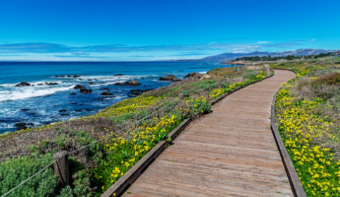 Along the Cambria coast. The board walk helps to preserve the fragile environment. This area became a settlement when Swiss immigrants began dairy operations in the late 1800s. Rivalry between farmers, lead to feuds and eventually to a truce. This arrangement led to the town's name.  Cayucos is a town of about 2400. This area was settled 11,000 years ago by the Chumash people and they also inhabited many of the areas that I recently traveled through. These indigenous people fished in the bay using a small canoe. Cayucos is the Spanish word for "small canoe." 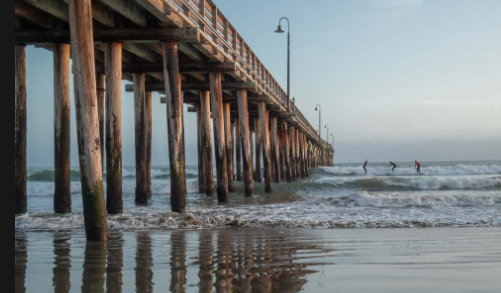 The current pier at Cayucos. A earlier version was destroyed in a storm. Morro Bay is a bigger town (10,200). It is nice to roll into these places to stock up and take care of a variety of tasks. This harbor area gets a lot of use from a variety of sized boats. There is another nice beach area. 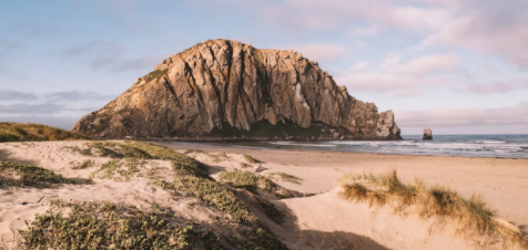 Morro Rock. This is a volcano plug. Lava cooled to become magma. The rest of the cone has worn away. August is finished and in Michigan we experience cooler evenings and we notice the days growing shorter.
After supper last night I wanted to go out for a quick hour ride. I left at 7:15 and the sun was still high above the horizon. A friend told me that after early August the Sun will not set after 8:00 until sometime into April. Now once the Sun sets there will be some twilight, but not for too long. My helmet has a headlight mounted on top and there is a red light mounted on the back. These lights are on whenever I ride. I appreciate it when I see other riders with daytime running lights. These lights are just another way to be noticed. On this evening's ride, I saw only one other bike rider with a light. The multi-use trail had many walkers. It was hard tor me to see these people. The pathway is well protected by trees along the sides and this causes dark areas. The path has many curves. Foliage along the sides also limits visibility. I bicycle rider needs to adjust for changing situations and as a vehicle operator, we need to keep under control. An accident will harm everyone. I remember seeing night time dog walkers in the neighborhood who would use a flashlight to signal their presence. Light and reflective clothing are very helpful. It gets dark quicker now and leave on those after dinner rides prepared for sunset. This is the time of year I get stuck heading home in the dark. I have used by phone flashlight before in a pinch. Enjoy your next evening ride with a light . |
AuthorI love my riding days and look to find interesting and informative items to share. 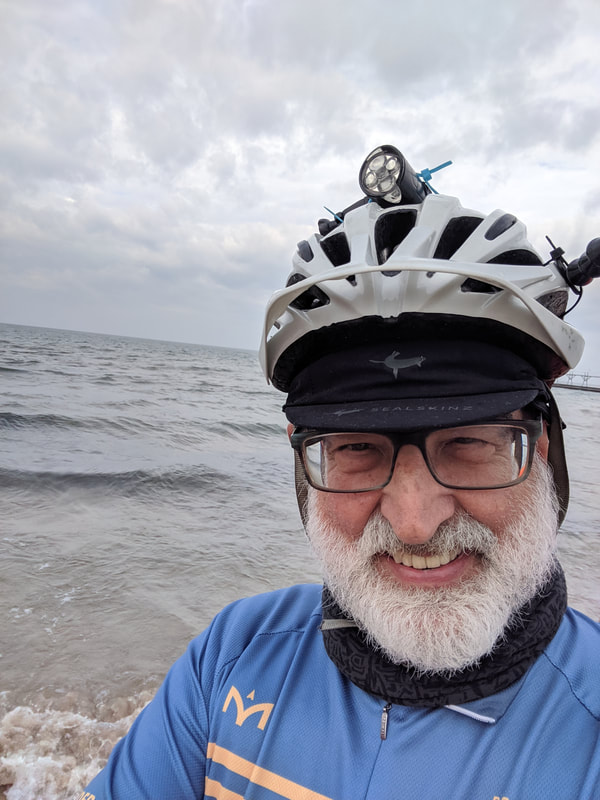
Archives
October 2023
Categories
All
Pacific Coast Highway
MUP |
 RSS Feed