Trace The Mitten
  • Home
  • About
  • Contact
  • Gallery
    • Michigan Lighthouses
    • Historic Sites
    • Day Rides >
      • Michigan
      • Indiana
      • City Signs
    • Tours >
      • Trace the Mitten 2011
      • Trace the Mitten 2012
      • Great Lakes Relaxed
      • Great Lake to Lake Inaugural
      • Michigander 2017
      • Michigander 2018
      • Michigander 2019
    • Equipment
  • Links
  • Blog

Happenings, Reflections, Ideas, Analysis

TRACE THE MITTEN

Cut Bank to West Glacier

1/3/2022

0 Comments

 
Picture
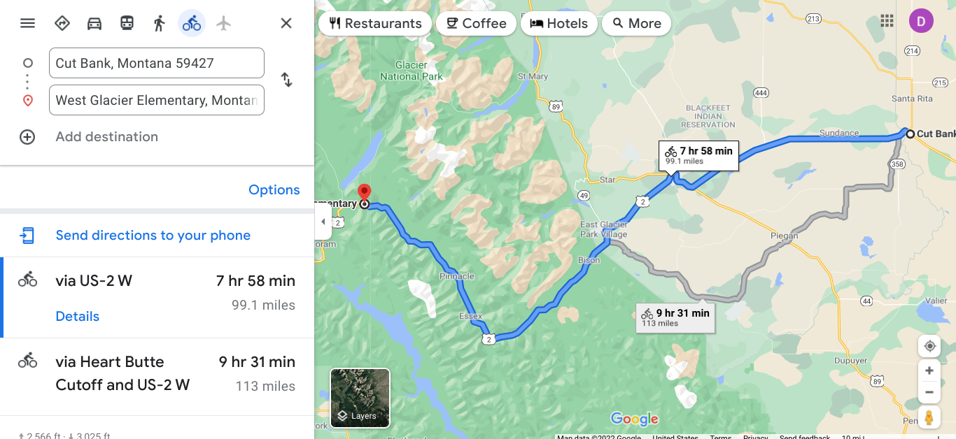
 The route above may have more little towns along the way, but I bet it will have heavier traffic.  Meriwether, Blackfoot, Browning, Durham and then West Glacier.
Picture
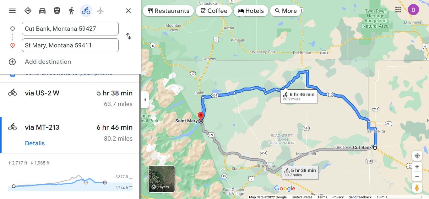
This route uses a state road that does not have as much traffic.
Picture
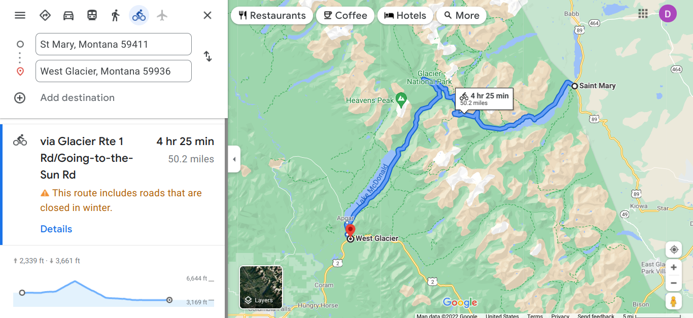
Going to the Sun Road is popular for cyclists. Check ahead for the details and time.
​https://www.nps.gov/glac/planyourvisit/goingtothesunroad.htm
Picture
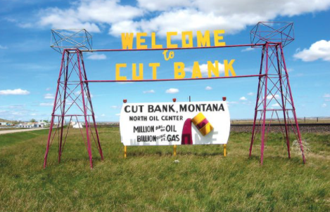
Oil and gas country.
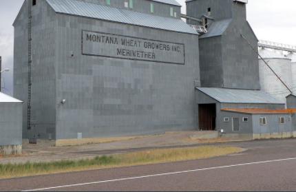
Picture
Wheat is big too.
Picture
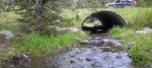
Taking a break along the road.
Picture
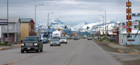
Browning has a population 1000 at an elevation 4377'. The HQ of the Blackfeet Indian Reservation are located here.
Picture
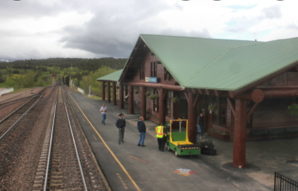
Amtrak station in East Glacier Park Village. I have stopped there.
Picture
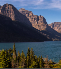
There were 25 active glaciers in the NP in 2010. In the 1800s there were estimated 150.
Glacier National Park is on the US-Canadian border and covers 1 million acres. There are over 130 lakes. The Native American groups when the European's arrived were the Blackfeet in the east and the Flathead in the West.  The park was established in 1910 and the Great Northern Railway built a hotel and a chalet to encourage tourists.
Picture
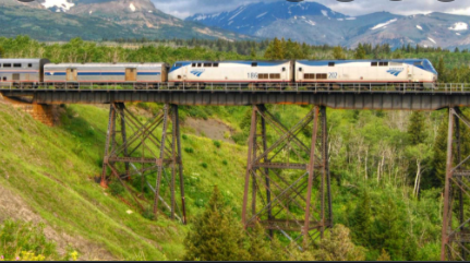
Amtrak now stops at the stations.
Picture
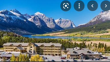
Book ahead it looks beautiful.
Picture
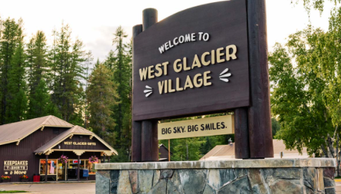
The west entrance will lead you into the park.
Picture
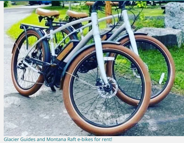
There is a long steady incline and the ebike sounds good for me.
​https://glacierguides.com/faq-biking-the-going-to-the-sun-road-in-the-spring/
Picture
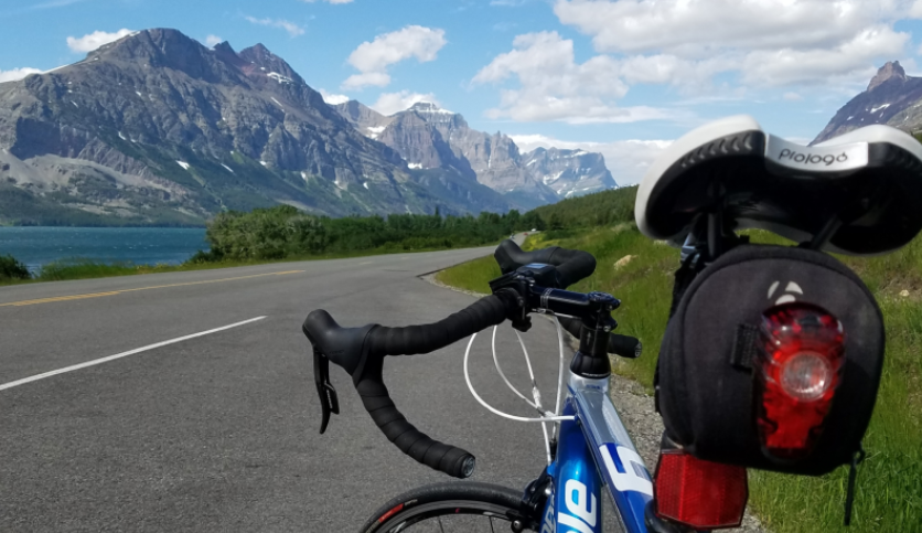
You can also bring your own bike.
 Most riders go from the west, but you can also ride from the St. Mary's entry in the east.  From the west it will be 35 miles to Logan Pass and coming from the east it is an 18 mile ride.  Remember you need to ride back to where you start :) or you may ride from St. Mary's to West Glacier would be 35 miles. The maps above will show you the options. Enjoy your choice.
0 Comments


Leave a Reply.

    Author

    I love my riding days and look to find interesting and informative items to share.

    Picture

    Archives

    October 2022
    September 2022
    August 2022
    July 2022
    June 2022
    May 2022
    April 2022
    March 2022
    February 2022
    January 2022
    December 2021
    November 2021
    October 2021
    September 2021
    August 2021
    July 2021
    June 2021
    May 2021
    April 2021
    March 2021
    February 2021
    January 2021
    December 2020
    November 2020
    October 2020
    September 2020
    August 2020
    July 2020
    June 2020
    May 2020
    September 2019
    August 2019
    April 2019
    March 2019
    February 2019
    January 2019

    Picture

    Categories

    All
    Lands End To John O' Groats
    MUP
    Pacific Coast Highway
    Route 66 Virtual Tour
    Sites During Rides
    Tour Prep
    Upper Peninsula
    Virtual Tour Yellowstone

    Pacific Coast Highway
    ​MUP

    RSS Feed

Powered by Create your own unique website with customizable templates.
  • Home
  • About
  • Contact
  • Gallery
    • Michigan Lighthouses
    • Historic Sites
    • Day Rides >
      • Michigan
      • Indiana
      • City Signs
    • Tours >
      • Trace the Mitten 2011
      • Trace the Mitten 2012
      • Great Lakes Relaxed
      • Great Lake to Lake Inaugural
      • Michigander 2017
      • Michigander 2018
      • Michigander 2019
    • Equipment
  • Links
  • Blog