|
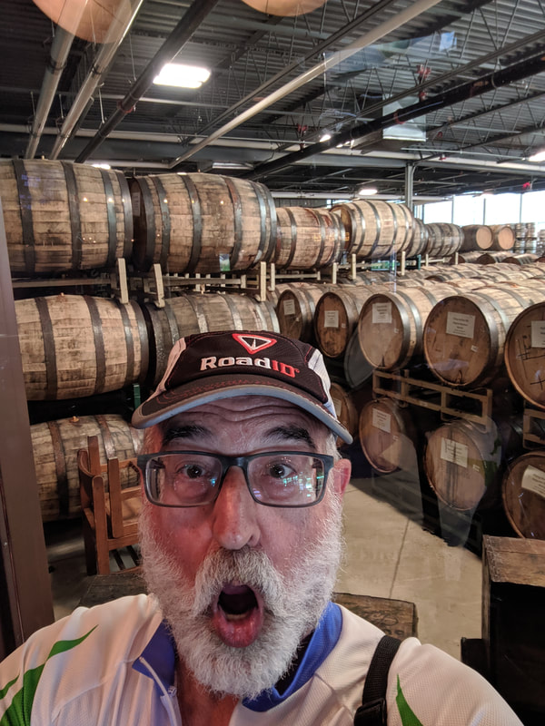
This is the last section of this virtual cycling tour.of about half of the Northern Tier. I began in Osceola, Minnesota after completing a loop around Lake Michigan. I cover 2021 miles riding on my two inside trainers during the winter months. I find that the cold Michigan winter air is too hard to breathe during exercise. 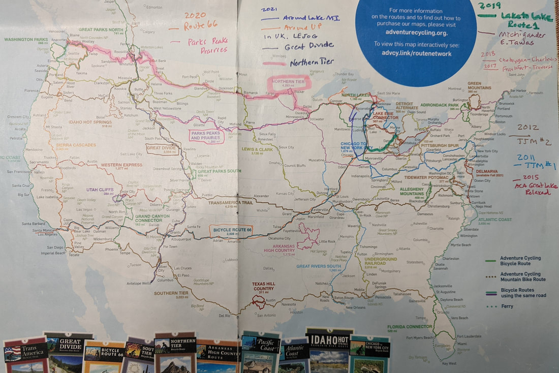 This map shows real and virtual tours. Since the pandemic began I have used my mileage riding inside and outside rides to progress my trip. I have used the journals from crazyguyonabike.com to provide details and map guidance. The maps used in these blogs I get from Google maps. 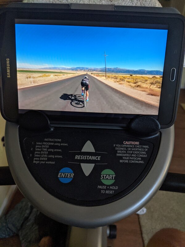 The YouTube videos provide scenes to put me in the mood. This is the recumbent trainer that I use. 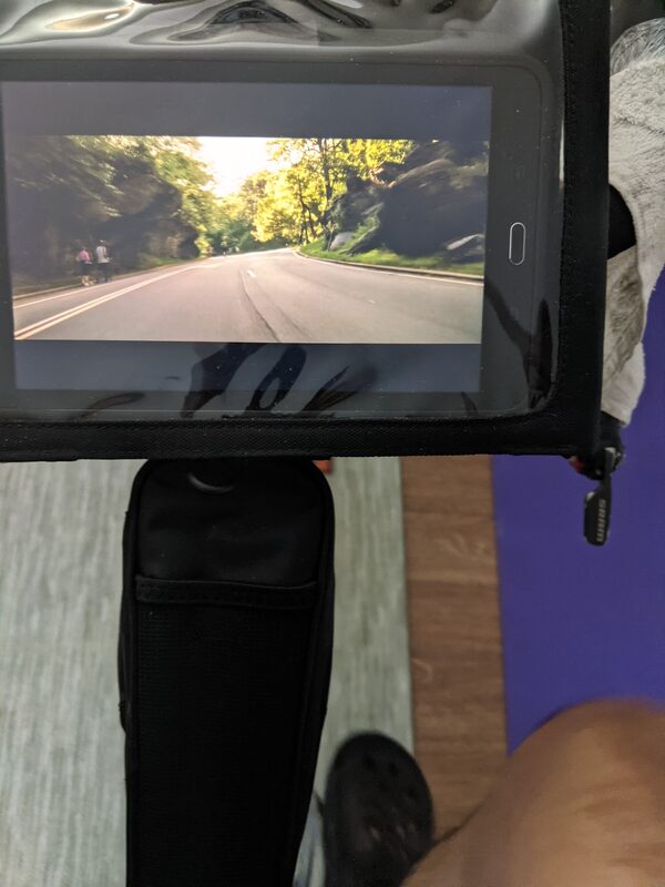 I also set up my tour bike. This helps me stay comfortable in the touring positions. 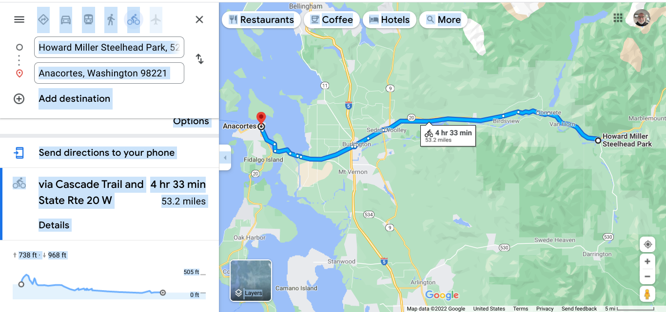 The last map segment. 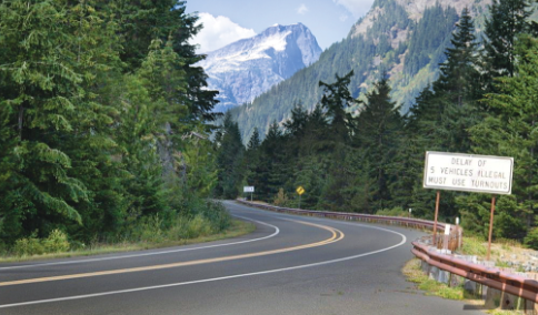 The North Cascades Scenic Highway. https://www.myscenicdrives.com/drives/washington/north-cascades-highway This is a 127 mile stretch between Winthrop and Sedro-Wooley. It is best used in the warmer months since the high elevation will not be open in the winter. The first designated scenic highway in the US. 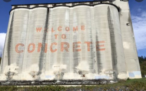 The town is now called Concrete. Over a century ago the two communities across the river from each other decided to merge. Baker across the river had the Portland Cement Company and it was referred to as "Cement City." They towns decided on the new name of Concrete and is it okay to say that the name "stuck"? 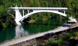 A beautiful bridge near Concrete. 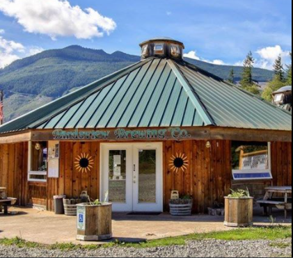 Birdsview Brewery. 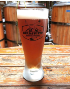 They let me in. Great brew! 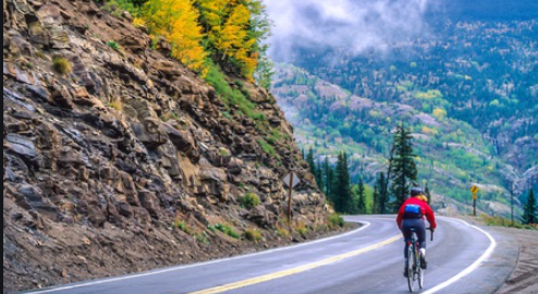 No traffic and a shoulder at the best. 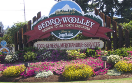 A nice size town of nearly 12,000 and I am now at 56' elevation. 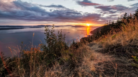 Near Burlington a town of 8400 at 30'. This area was prone to flooding and now under better control. 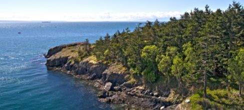 I reached the end of this road and tour at Anacortes. I will move on to the Pacific Coast Highway route as my virtual tour continues. See you soon.
0 Comments
Leave a Reply. |
AuthorI love my riding days and look to find interesting and informative items to share. 
Archives
October 2023
Categories
All
Pacific Coast Highway
MUP |
 RSS Feed